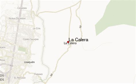
Location: La Calera 🌎
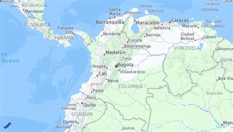
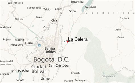
Location: La Calera, Colombia
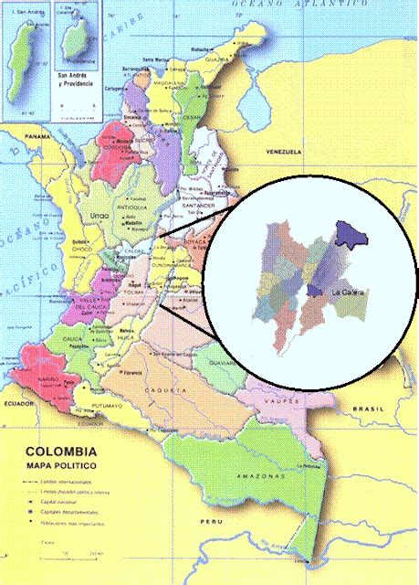
Administration Region: Cundinamarca
Population: 28908
ISO2 Code: Cundinamarca
ISO3 Code: COL
Location Type: Lower-level Admin Capital
Latitude: 4.7531
Longitude: -73.92
La Calera is a municipality and town of Colombia in the Guavio Province, part of the department of Cundinamarca.
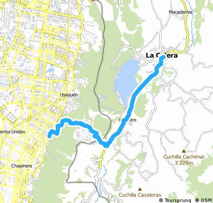
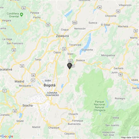
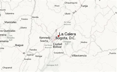
La Calera is a common weekend destination, mainly for the many restaurants, as it is approximately 18 kilometres (11 mi) over land from Bogotá, the capital city of Colombia. La Calera is located in the Eastern Ranges of the Colombian Andes, east of the capital and overlooking part of it. La Calera borders Guasca, Sopó and Chía in the north, Guasca and Junín in the east, Bogotá in the west and Choachí and Fómeque in the south.
Top La Calera HD Maps, Free Download 🗺️
Map
Maps
United States
United States
World Map
China
China
