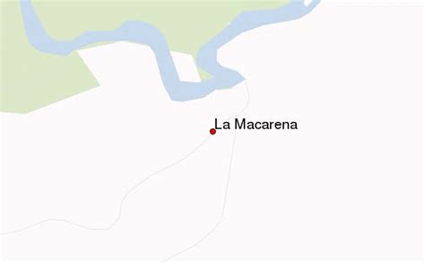
Location: La Macarena 🌎
Location: La Macarena, Colombia
Administration Region: Meta
Population: 36781
ISO2 Code: Meta
ISO3 Code: COL
Location Type: Lower-level Admin Capital
Latitude: 2.1828
Longitude: -73.7847
La Macarena is a town and municipality in the Meta Department, located about 280 km (170 m) south of Bogotá, Colombia.
The town was included in the former El Caguan DMZ. Now, back in the control of Colombian Army and Police Force, the town is a growing Ecotourism destination, particularly for the five coloured river Caño Cristales considered one of the most beautiful in the world. La Macarena is served by La Macarena Airport.
Top La Macarena HD Maps, Free Download 🗺️
Map
Maps
United States
United States
World Map
China
China
