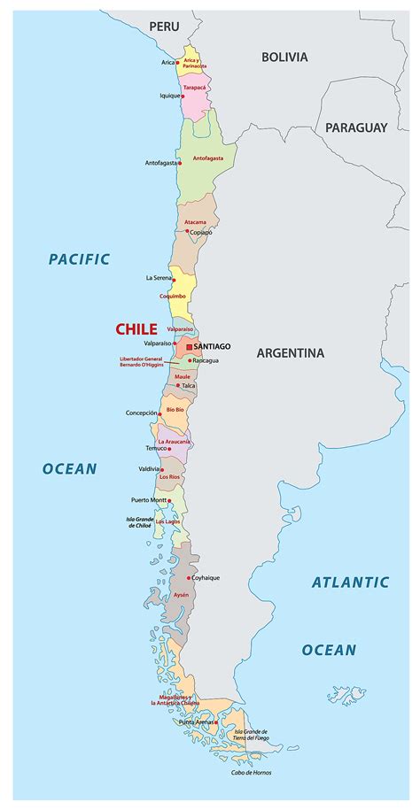
Location: La Unión 🌎
Location: La Unión, Chile
Administration Region: Los Ríos
Population: 26517
ISO2 Code: Los Ríos
ISO3 Code: CHL
Location Type: Lower-level Admin Capital
Latitude: -40.2833
Longitude: -73.0833
La Unión is a city and commune of the Ranco Province in the Los Ríos Region in Chile. It is situated approximately 40 km north of Osorno and 80 km southeast of Valdivia. Covering an area of 2,136.7 km2, it has a population of 36,447, of which 25,615 are considered part of the urban population, according to the 2012 census. The commune derived its name from the confluence of the Llollelhue and Radimadi rivers.
La Unión was founded in 1821 during the government of Bernardo O’Higgins, to secure sovereignty over the Central Valley south of Valdivia. It is a major centre for milk production; COLUN is the main milk and dairy product producer in the zone. The commune is covered in forest to the west of the city and the east is dominated by agricultural landscapes spanning Los Llanos. Alerce Costero National Park lies in the western mountains.
The city served until 2001 as a dormitory town for the coal mines of Catamutún.
Top La Unión HD Maps, Free Download 🗺️
Map
Maps
United States
United States
World Map
China
China
