Location: Lambaréné 🌎
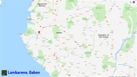
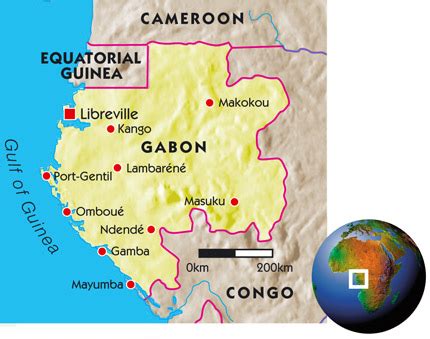
Location: Lambaréné, Gabon
Administration Region: Moyen-Ogooué
Population: 38775
ISO2 Code: Moyen-Ogooué
ISO3 Code: GAB
Location Type: First-level Admin Capital
Latitude: -0.6883
Longitude: 10.2319
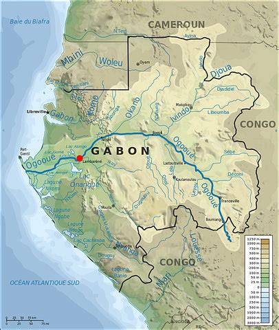
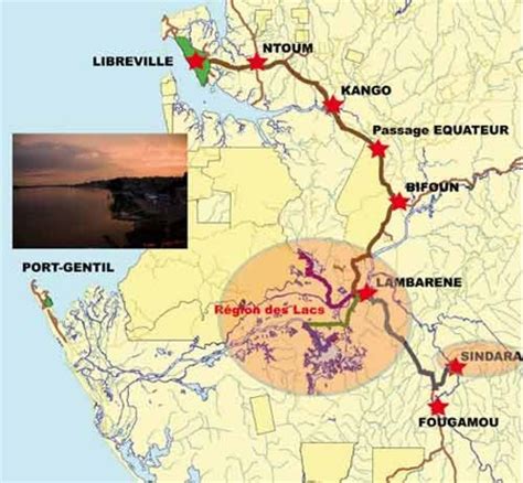
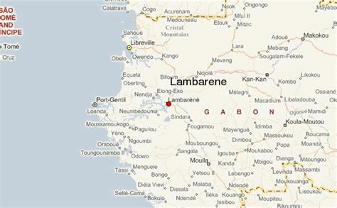
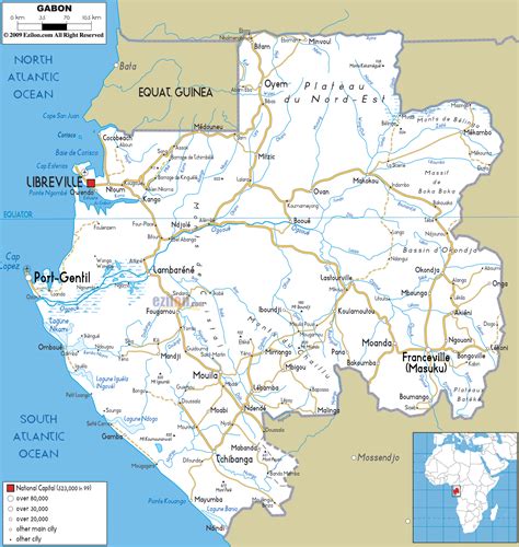
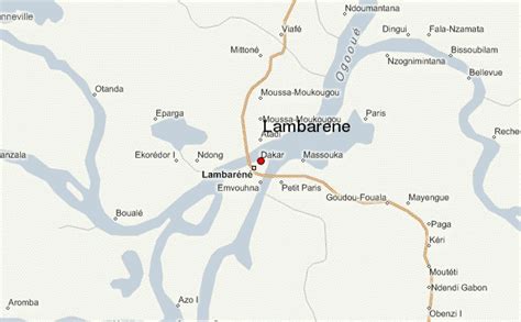
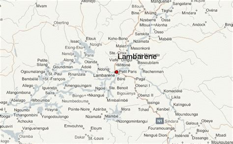
Lambaréné is a town and the capital of Moyen-Ogooué in Gabon. It has a population of 38,775 as of 2013, and is located 75 kilometres south of the equator. Lambaréné
Lambaréné is based in the Central African Rainforest at the river Ogooué. This river divides the city into 3 districts: Rive Gauche, Ile Lambaréné and Rive Droite. The Albert Schweitzer Hospital and the districts Adouma and Abongo are located on Rive Droite. The districts Atongowanga, Sahoty, Dakar, Grand Village, Château, Lalala and Bordamur build the Ile Lambaréné. The majority of the people in Lambaréné live in the district Isaac located on Rive Gauche. This district hosts the Lambaréné Airport.
Today Lambaréné is inhabited mainly by Bantu ethnic groups such as the Fang, Bapounou, Eshira, and Myéné; these displaced the Pygmies to the east and north of Gabon. The main economic activity in the town is the fishery and a new port is under construction.
Top Lambaréné HD Maps, Free Download 🗺️
Map
Maps
United States
United States
World Map
China
China
