Location: Laohekou 🌎
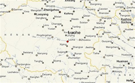
Location: Laohekou, China
Administration Region: Hubei
Population: 471482
ISO2 Code: Hubei
ISO3 Code: CHN
Location Type:
Latitude: 32.359
Longitude: 111.684
Laohekou (Chinese: 老河口; pinyin: Lǎohékǒu; lit. ‘old river mouth’) is a county-level city in the northwest of Hubei province, People’s Republic of China. It is located on the Han River (Hanshui), near the Henan border.
The entire county-level city has an area of 1,032 square kilometres (398 sq mi) and a population of 490,000 (2002). It falls under the jurisdiction of Xiangyang City. The area includes the city of Laohekou proper, which has an area of 27 square kilometres (10 sq mi).
Before the Communist Revolution, the city was the seat of the Roman Catholic Bishop of Laohekou.

Top Laohekou HD Maps, Free Download 🗺️
Map
Maps
United States
United States
World Map
China
China


