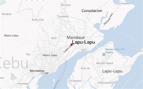
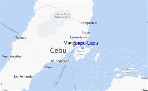
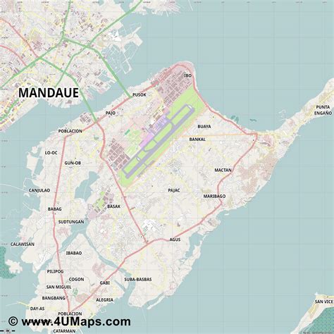
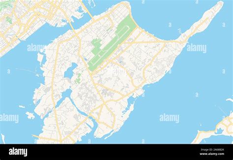
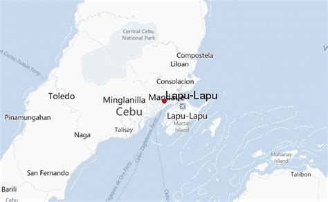
Location: Lapu-Lapu City 🌎
Location: Lapu-Lapu City, Philippines Administration Region: Lapu-Lapu Population: 497604 ISO2 Code: Lapu-Lapu ISO3 Code: PHL Location Type: First-level Admin Capital Latitude: 10.3127 Longitude: 123.9488
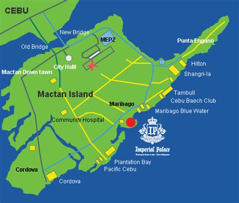
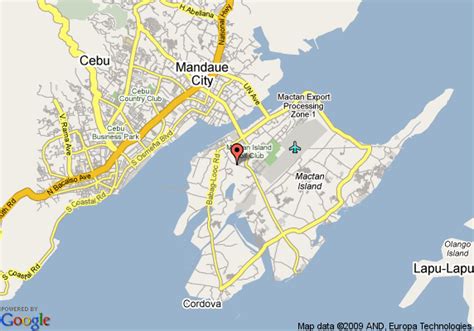
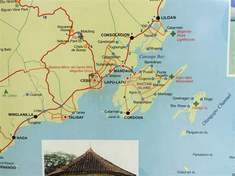
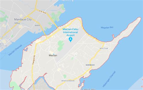
Lapu-Lapu City, officially the City of Lapu-Lapu (Cebuano: Dakbayan sa Lapu-Lapu; Filipino: Lungsod ng Lapu-Lapu), is a 1st class highly urbanized city in the Central Visayas region of the Philippines. According to the 2020 census, it has a population of 497,604 people. It was formerly known as Opon, the city being renamed to its present name in 1961. It is one of the cities that make up Metro Cebu in the Philippines. It is located in the province of Cebu, administratively independent from the province, but grouped under Cebu by the Philippine Statistics Authority (PSA). Mactan–Cebu International Airport, the second busiest airport in the Philippines, is located in Lapu-Lapu City.

Top Lapu-Lapu City HD Maps, Free Download 🗺️
Map
Maps
United States
United States
World Map
China
China