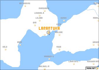
Location: Larantuka 🌎
Location: Larantuka, Indonesia
Administration Region: Nusa Tenggara Timur
Population: 40828
ISO2 Code: Nusa Tenggara Timur
ISO3 Code: IDN
Location Type: Lower-level Admin Capital
Latitude: -8.3133
Longitude: 123.0042
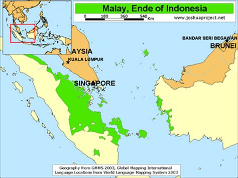
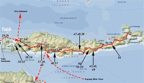
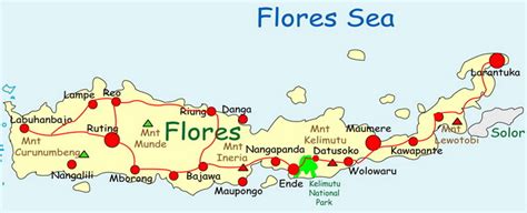
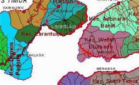
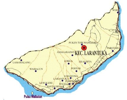
Larantuka (Dutch: Larantoeka) is a kecamatan (district) and the seat capital of East Flores Regency, on the eastern end of Flores Island, East Nusa Tenggara, Indonesia. Like much of the region, Larantuka has a strong a colonial Portuguese influence. The town had 37,348 inhabitants at the 2010 census and 40,828 at the 2020 census. This overwhelmingly (95.4%) Roman Catholic area enjoys some international renown for its Holy Week celebrations.Larantuka Malay (also known as Ende Malay), a local dialect over 80% cognate with Indonesian, is used as a lingua franca in this area. Portuguese is used in certain Catholic religious rituals.

Top Larantuka HD Maps, Free Download 🗺️
Map
Maps
United States
United States
World Map
China
China
