Location: Latakia 🌎
Location: Latakia, Syria
Administration Region: Al Lādhiqīyah
Population: 700000
ISO2 Code: Al Lādhiqīyah
ISO3 Code: SYR
Location Type: First-level Admin Capital
Latitude: 35.5167
Longitude: 35.7833
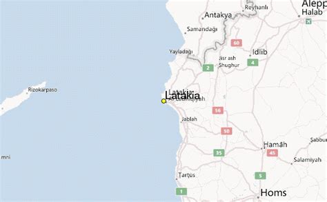
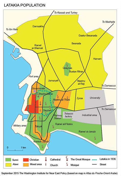
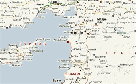
Latakia or Lattakia (Arabic: ٱللَّاذْقِيَّة/ ٱللَّاذِقِيَّة, al-Lāḏqīyah / al-Lāḏiqīyah; Syrian pronunciation: [el.laːdˈʔɪjje, -laːðˈqɪjja]) is the principal port city of Syria and capital city of the Latakia Governorate located on the Mediterranean coast. Historically, it has also been known as Laodicea in Syria or Laodicea ad Mare. In addition to serving as a port, the city is a significant manufacturing center for surrounding agricultural towns and villages. According to 2023 estimate, the population of the city is 709,000, its population greatly increased as a result of the ongoing Syrian Civil War, which led to an influx of internally displaced persons from rebel held areas. It is the 4th-largest city in Syria after Aleppo, Damascus, and Homs. It borders Tartus to the south, Hama to the east, and Idlib to the north, and Cape Apostolos Andreas, the north-eastern tip of Cyprus, is about 109 kilometres (68 mi) away.Although the site of the city has been inhabited since the 2nd millennium BC, the city was founded in the 4th century BC under the rule of the Seleucid Empire. Latakia was subsequently ruled by the Romans, followed by the Ummayads and Abbasids during the 8th–10th centuries AD. Byzantines ruling groups frequently attacked the city, periodically recapturing it before losing it again to Arab powers, particularly the Fatimids. Afterward, Latakia was ruled successively by the Seljuk Turks, Crusaders, Ayyubids, Mamluks, and the Ottomans. Following World War I, Latakia was assigned to the French mandate of Syria, in which it served as the capital of the autonomous territory of the Alawites. This autonomous territory became the Alawite State in 1922, proclaiming its independence a number of times until reintegrating into Syria in 1944.

Top Latakia HD Maps, Free Download 🗺️
Map
Maps
United States
United States
World Map
China
China


