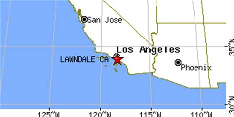
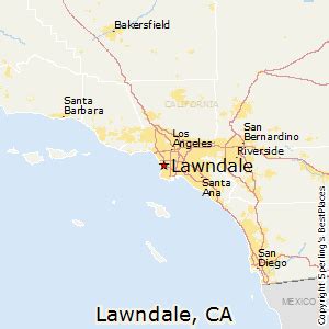
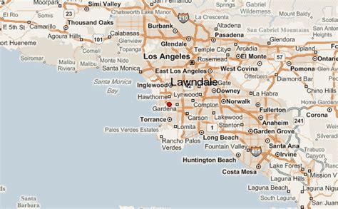
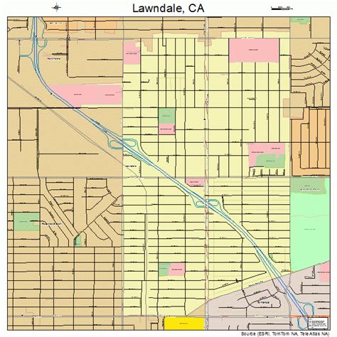
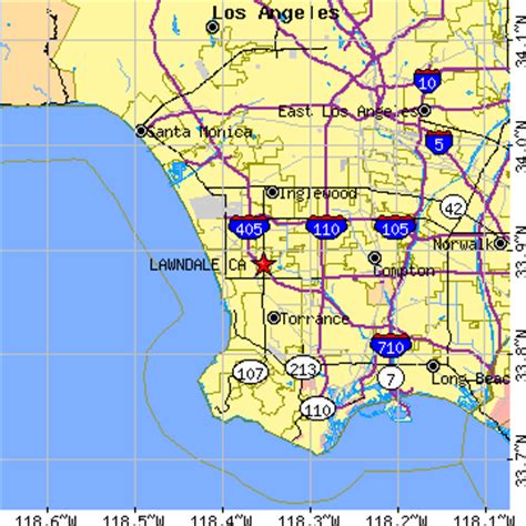
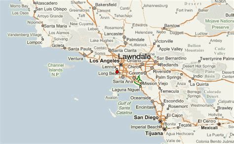
Location: Lawndale 🌎
Location: Lawndale, United States
Administration Region: California
Population: 32035
ISO2 Code: California
ISO3 Code: USA
Location Type:
Latitude: 33.8867
Longitude: -118.3536
Lawndale is a city in Los Angeles County, California, United States. The population was 32,769 at the 2010 census, up from 31,712 according to the 2000 census. The city is in the South Bay region of the Greater Los Angeles Area.

Top Lawndale HD Maps, Free Download 🗺️
Map
Maps
United States
United States
World Map
China
China
