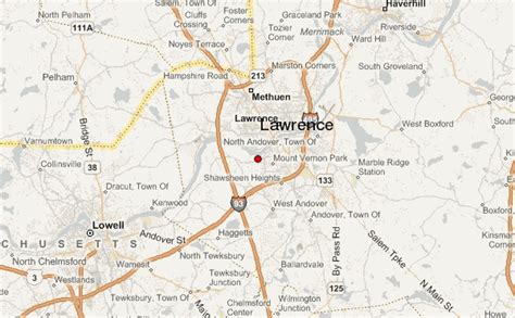
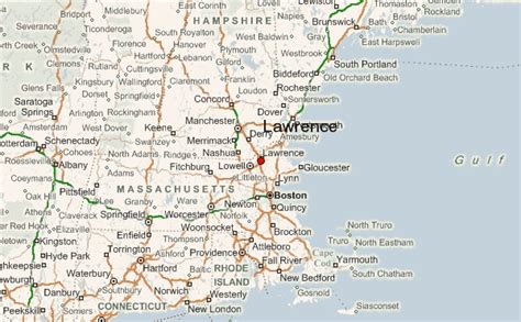
Location: Lawrence 🌎
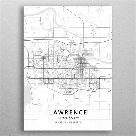
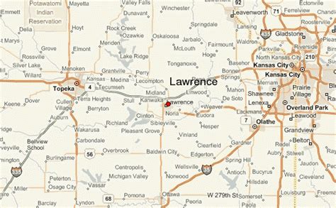
Location: Lawrence, United States
Administration Region: Kansas
Population: 94745
ISO2 Code: Kansas
ISO3 Code: USA
Location Type:
Latitude: 38.9717
Longitude: -95.2353
Lawrence is the seat of government of Douglas County, Kansas, United States, and the sixth-largest city in the state. It is in the northeastern sector of the state, astride Interstate 70, between the Kansas and Wakarusa Rivers. As of the 2020 census, the population of the city was 94,934. Lawrence is a college town and the home to both the University of Kansas and Haskell Indian Nations University.
Lawrence was founded by the New England Emigrant Aid Company (NEEAC) and was named for Amos A. Lawrence, an abolitionist from Massachusetts, who offered financial aid and support for the settlement. Lawrence was central to the “Bleeding Kansas” period (1854–1861), and the site of the Wakarusa War (1855) and the Sacking of Lawrence (1856). During the American Civil War it was also the site of the Lawrence massacre (1863).
Lawrence began as a center of free-state politics. Its economy diversified into many industries, including agriculture, manufacturing, and education, beginning with the founding of the University of Kansas in 1865 and Haskell Indian Nations University in 1884.
Top Lawrence HD Maps, Free Download 🗺️
Map
Maps
United States
United States
World Map
China
China
