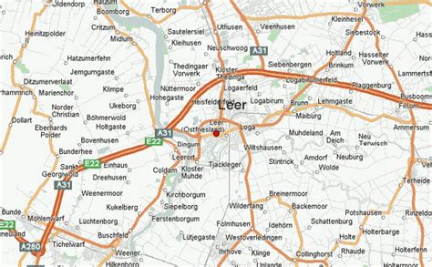
Location: Leer 🌎
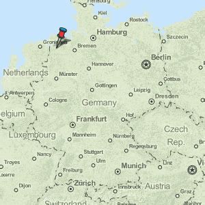
Location: Leer, Germany Administration Region: Lower Saxony Population: 35078 ISO2 Code: Lower Saxony ISO3 Code: DEU Location Type: Lower-level Admin Capital Latitude: 53.2308 Longitude: 7.4528
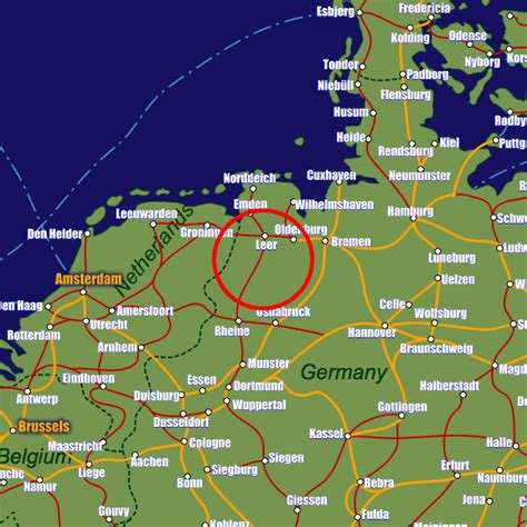
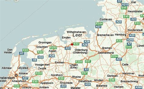
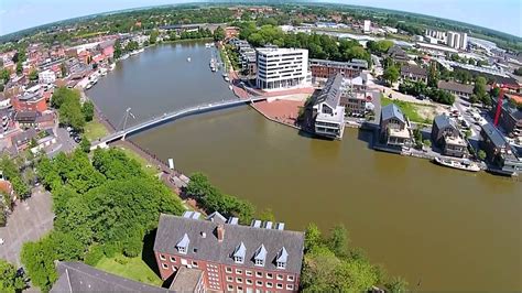
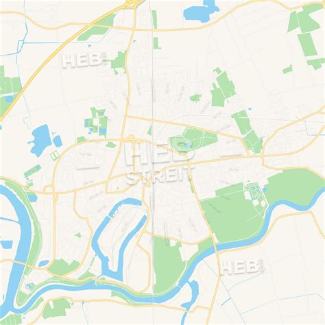
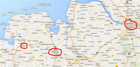
Leer is a town in the district of Leer, in the northwestern part of Lower Saxony, Germany. It is situated on the river Leda, a tributary of the river Ems, near the border with the Netherlands. With 34,958 inhabitants (2021), it is the third-largest city in East Frisia after Emden and Aurich. It has a railway and autobahn connection to Groningen, Netherlands, Emden, Bremen and the South (Rheine and the Ruhrpott industrial region).

Top Leer HD Maps, Free Download 🗺️
Map
Maps
United States
United States
World Map
China
China