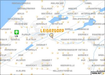
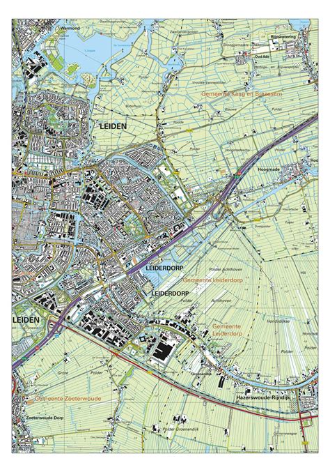
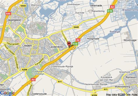
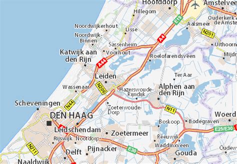
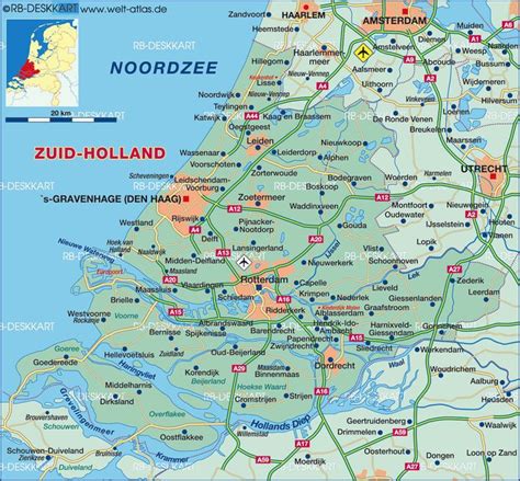
Location: Leiderdorp 🌎
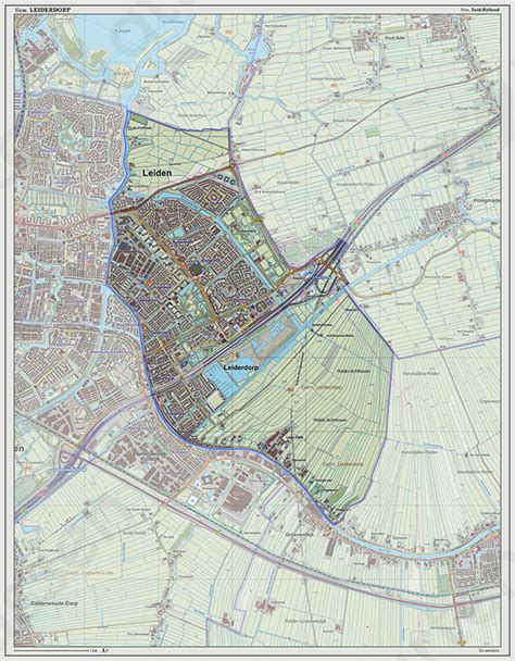
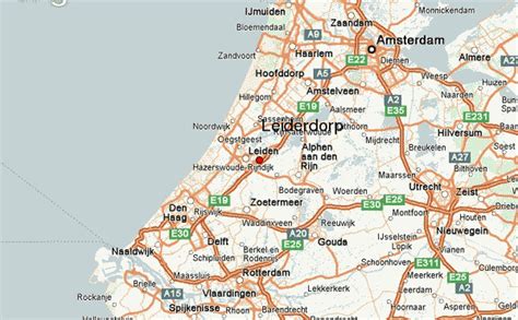
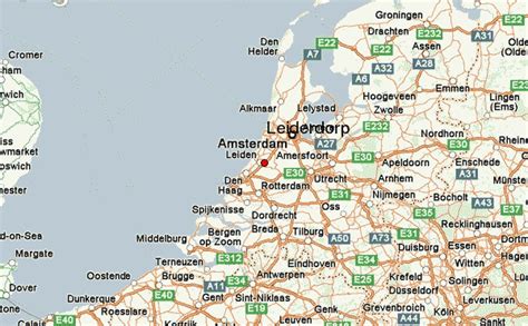
Location: Leiderdorp, Netherlands
Administration Region: Zuid-Holland
Population: 27377
ISO2 Code: Zuid-Holland
ISO3 Code: NLD
Location Type: Lower-level Admin Capital
Latitude: 52.1667
Longitude: 4.5333
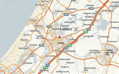
Leiderdorp (Dutch pronunciation: [ˌlɛidərˈdɔr(ə)p] ) is a town and municipality in the western Netherlands, in the province of South Holland near the city of Leiden. It had a population of 27,377 in 2021.
The municipality covers an area of 12.28 km2 (4.74 sq mi) of which 0.70 km2 (0.27 sq mi) is water. Leiderdorp has now become a suburb of the city of Leiden, although the Oude Rijn (Old Rhine) river and the Zijl river separate the two. The HSL-Zuid high-speed rail line between Amsterdam and Brussels crosses Leiderdorp in a tunnel.
It is one of the oldest towns in South Holland province and was a base for the Spanish army in the Eighty Years’ War.
Top Leiderdorp HD Maps, Free Download 🗺️
Map
Maps
United States
United States
World Map
China
China
