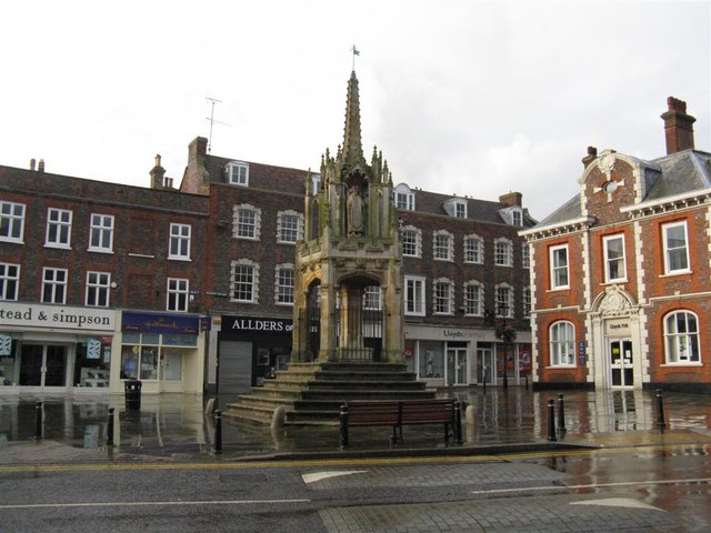
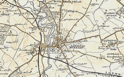
Leighton Buzzard ( LAY-tən BUZ-ərd) is a market town in Bedfordshire, England, in the southwest of the county and close to the Buckinghamshire border. It lies between Aylesbury, Tring, Luton/Dunstable and Milton Keynes, near the Chiltern Hills.
It is 36 miles (58 km) northwest of Central London and linked to the capital by the Grand Union Canal and the West Coast Main Line. The built-up area extends on either side of the River Ouzel (here about 2 metres wide) to include its historically separate neighbour Linslade, and is administered by Leighton-Linslade Town Council.