Location: Leticia 🌎
Location: Leticia, Colombia
Administration Region: Amazonas
Population: 32450
ISO2 Code: Amazonas
ISO3 Code: COL
Location Type: First-level Admin Capital
Latitude: -4.2167
Longitude: -69.9333
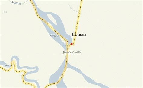
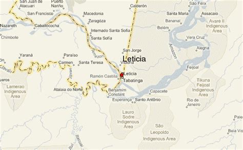
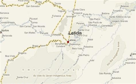
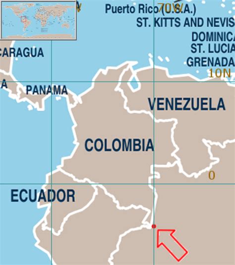
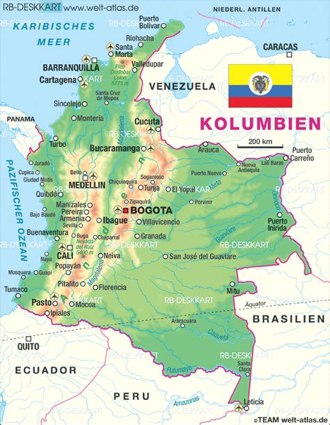
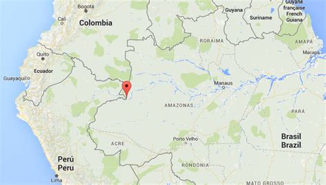
Leticia (Spanish pronunciation: [leˈtisja]) is the southernmost city in the Republic of Colombia, capital of the department of Amazonas, Colombia’s southernmost town (4.09° south 69.57° west) and one of the major ports on the Amazon river. It has an elevation of 96 meters (315′) above sea level and an average temperature of 27 °C (80.6 °F). Leticia has long been Colombia’s shipping point for tropical fish for the aquarium trade. Leticia has a population of 33,503 located on the left bank of the Amazon river at the point where the borders of Colombia, Brazil and Peru meet in an area called Tres Fronteras.
A long-standing border dispute involving Leticia, between Colombia and Peru, was decided in 1934 by the League of Nations after these two nations were engulfed in an armed conflict known as the Colombia-Peru War.
Top Leticia HD Maps, Free Download 🗺️
Map
Maps
United States
United States
World Map
China
China
