Location: Lianyuan 🌎
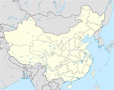
Location: Lianyuan, China
Administration Region: Hunan
Population: 1162928
ISO2 Code: Hunan
ISO3 Code: CHN
Location Type: Lower-level Admin Capital
Latitude: 27.692
Longitude: 111.664
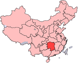
Lianyuan (simplified Chinese: 涟源; traditional Chinese: 漣源; pinyin: Liányuán) is a county-level city and the 7th most populous county-level division in Hunan Province, China; it is under the administration of Loudi prefecture-level City. Located on the geographical centre of Hunan, the city is bordered to the north by Anhua and Ningxiang Counties, to the east by Louxing District, to the south by Shuangfeng, Shaodong and Xinshao Counties, to the west by Lengshuijiang City and Xinhua County. Lianyuan City covers 1,830.01 km2 (706.57 sq mi). As of the 2010 census, it has a registered population of 1,162,928 and a resident population of 995,712. The city has a subdistrict, 16 towns and two townships under its jurisdiction, the government seat is Lantian Subdistrict (蓝田街道).
Top Lianyuan HD Maps, Free Download 🗺️
Map
Maps
United States
United States
World Map
China
China
