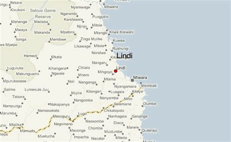
Location: Lindi 🌎
Location: Lindi, Tanzania
Administration Region: Lindi
Population: 41549
ISO2 Code: Lindi
ISO3 Code: TZA
Location Type: First-level Admin Capital
Latitude: -9.9876
Longitude: 39.6982
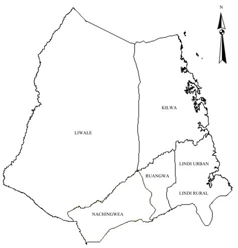
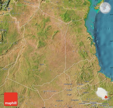
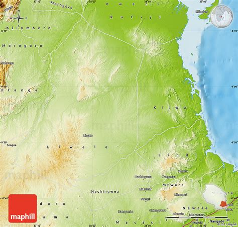
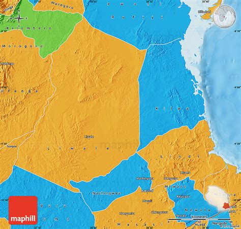
Lindi Region (Mkoa wa Lindi in Swahili) is one of Tanzania’s 31 administrative regions. The region covers an area of 66,040 km2 (25,500 sq mi). The region is comparable in size to the combined land area of the nation state of Sri Lanka. The regional capital is the municipality of Lindi. The Lindi Region borders on Pwani Region, Morogoro Region, Ruvuma Region, and Mtwara Region. The name Lindi is an old Swahili word meaning “hiding pits”, a place where Swahili people will hide to defend themselves from hostile invasions. The region is home to two UNESCO World Heritage Sites, namely; Kilwa Kisiwani and Selous Game Reserve. According to the 2012 national census, the region had a population of 864,652, which was lower than the pre-census projection of 960,236.: page 2 For 2002–2012, the region’s 0.9 percent average annual population growth rate was the 29th highest in the country.: page 4 It was also the least densely populated region with 13 people per square kilometer.: page 6

Top Lindi HD Maps, Free Download 🗺️
Map
Maps
United States
United States
World Map
China
China
