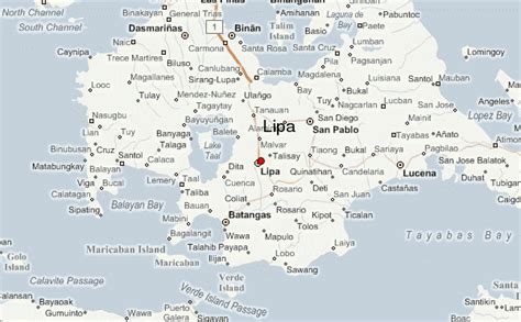
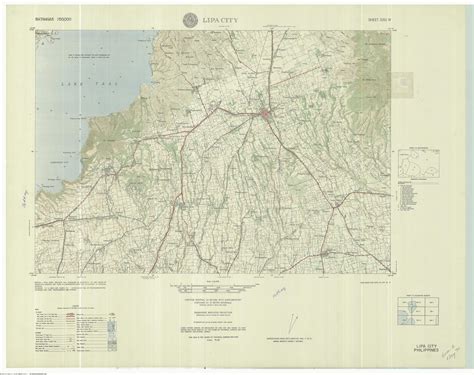
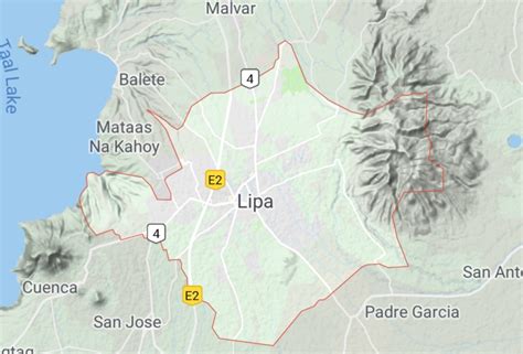
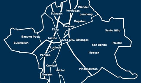
Location: Lipa City 🌎
Location: Lipa City, Philippines
Administration Region: Batangas
Population: 372931
ISO2 Code: Batangas
ISO3 Code: PHL
Location Type:
Latitude: 13.9411
Longitude: 121.1622
Lipa ([lɪˈpa]), officially the City of Lipa (Filipino: Lungsod ng Lipa), is a 1st class component city in the province of Batangas, Philippines. According to the 2020 census, it has a population of 372,931 people. It is the first city charter in the province and one of five cities in Batangas alongside Batangas City, Calaca, Santo Tomas, and Tanauan. It is located 78 kilometres (48 mi) south of Manila and is the most populous city of Batangas.
The Southern Tagalog Arterial Road (STAR) and South Luzon Expressway (SLEX) provide access to Batangas City and Metro Manila.

Top Lipa City HD Maps, Free Download 🗺️
Map
Maps
United States
United States
World Map
China
China


