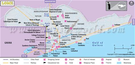
Location: Lomé 🌎
Location: Lomé, Togo
Administration Region: Maritime
Population: 837437
ISO2 Code: Maritime
ISO3 Code: TGO
Location Type: Primary Capital
Latitude: 6.1319
Longitude: 1.2228
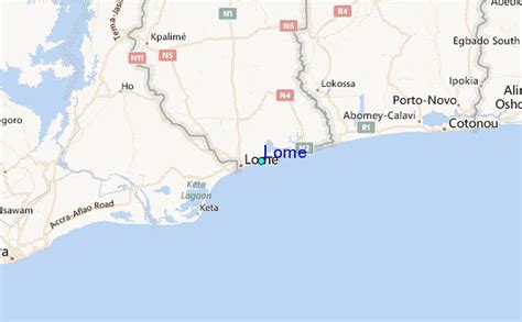
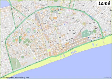
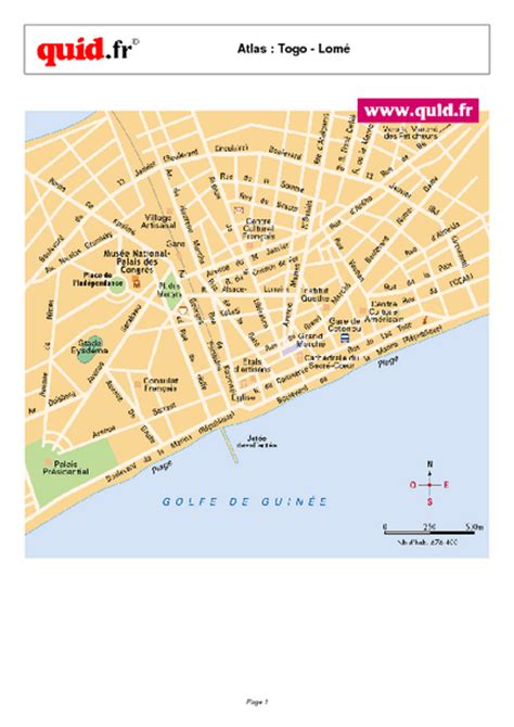
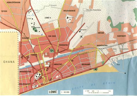
Lomé (UK: LOH-may, US: loh-MAY) is the capital and largest city of Togo. It has an urban population of 837,437 while there were 1,477,660 permanent residents in its metropolitan area as of the 2010 census. Located on the Gulf of Guinea at the southwest corner of the country, with its entire western border along the easternmost point of Ghana’s Volta Region, Lomé is the country’s administrative and industrial center, which includes an oil refinery. It is also the country’s chief port, from where it exports coffee, cocoa, copra, and oil palm kernels.
Its city limits extends to the border with Ghana, located a few hundred meters west of the city center, to the Ghanaian city of Aflao and the South Ketu district where the city is situated, had 160,756 inhabitants in 2010. The cross-border agglomeration of which Lomé is the centre, has about 2 million inhabitants as of 2020.

Top Lomé HD Maps, Free Download 🗺️
Map
Maps
United States
United States
World Map
China
China
