Location: Lordegān 🌎
Location: Lordegān, Iran
Administration Region: Chahār Maḩāl va Bakhtīārī
Population: 40528
ISO2 Code: Chahār Maḩāl va Bakhtīārī
ISO3 Code: IRN
Location Type: Lower-level Admin Capital
Latitude: 31.5081
Longitude: 50.8319
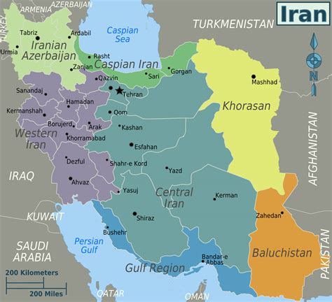
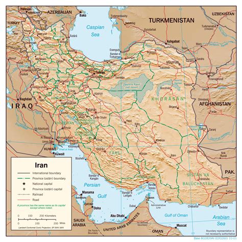
Lordegan (Luri and Persian: لردگان, also Romanized as Lordegān, Lordgān, and Lordagān; also known as Lordajān, Lordakān, and Lurdagān) is a city in, and the capital of, the Central District of Lordegan County, Chaharmahal and Bakhtiari province, Iran, and also serves as capital of the county.
At the 2006 census, its population was 22,728 in 4,459 households. The following census in 2011 counted 35,276 people in 8,037 households. The latest census in 2016 showed a population of 40,528 people in 10,482 households. The city is populated by Lurs.
Top Lordegān HD Maps, Free Download 🗺️
Map
Maps
United States
United States
World Map
China
China


