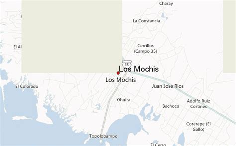
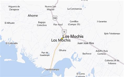
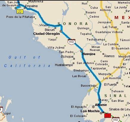
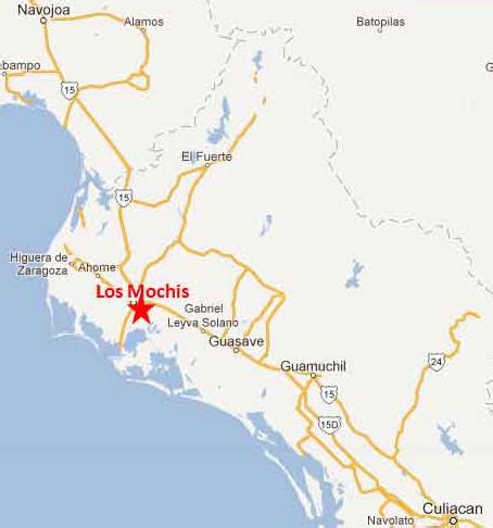
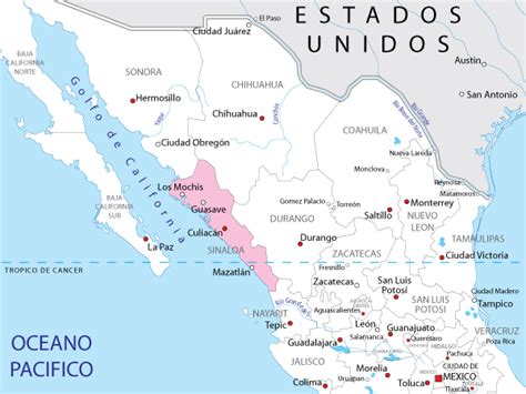
Location: Los Mochis 🌎
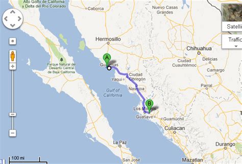
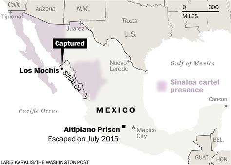
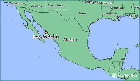
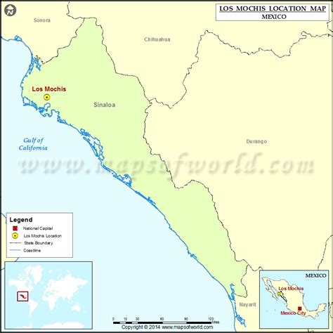
Location: Los Mochis, Mexico Administration Region: Sinaloa Population: 490000 ISO2 Code: Sinaloa ISO3 Code: MEX Location Type: Lower-level Admin Capital Latitude: 25.7835 Longitude: -108.9937
Los Mochis (Spanish pronunciation: [los ˈmotʃis]) is a coastal city in northern Sinaloa, Mexico. It serves as the municipal seat of the municipality of Ahome. As of the 2010 census, the population was 362,613, which was 61 percent of the municipality’s population. Los Mochis is the western terminus of the Chihuahua-Pacific Railroad (El Chepe), which passes through the scenic Copper Canyon. This railway was approved by President Porfirio Díaz as a trade route linking the cattle markets in Kansas City with the nearest port on the Pacific Ocean, Topolobampo. Today the North Pacific irrigation region (Sinaloa-Sonora) in which the Fort Valley is the largest district and is the principal agricultural area of Sinaloa, containing over 70% of all irrigated land and producing sugar cane, cotton, rice, flowers, and many types of vegetables. The valley is one of the largest producers of mangoes in Mexico. Air transportation is provided by Los Mochis Airport. Nearby Topolobampo is the second largest natural deepwater port in the world, and is known for its commercial fishing and increasingly important role in shipping.

Top Los Mochis HD Maps, Free Download 🗺️
Map
Maps
United States
United States
World Map
China
China