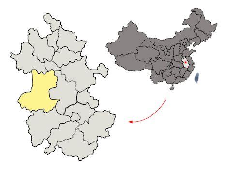
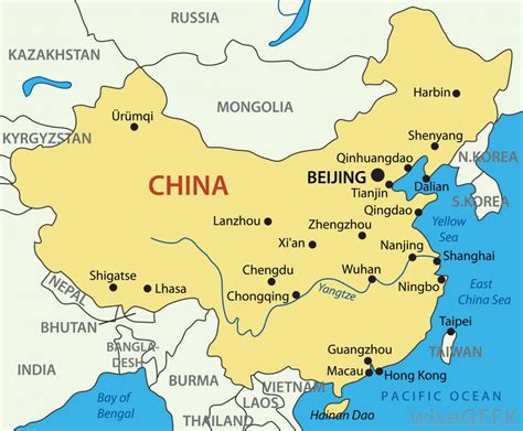
Lu’an (Chinese: 六安; pinyin: Lù’ān), is a prefecture-level city in western Anhui province, People’s Republic of China, bordering Henan to the northwest and Hubei to the southwest. As of the 2020 census, it had a total population of 4,393,699 inhabitants whom 1,752,537 lived in the built-up (or metro) area made of Yu’an and Jin’an urban districts. Neighbouring prefecture-level cities are the provincial capital of Hefei to the east, Anqing to the south, Huanggang (Hubei) and Xinyang (Henan) to the west, and Huainan and Fuyang to the north. Although the character 六 (literally: “six”) is normally pronounced “Liù”, in this case it changes to “Lù” on account of the historical literary reading.