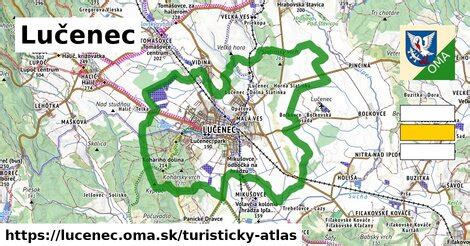
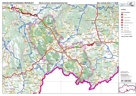
Location: Lučenec 🌎
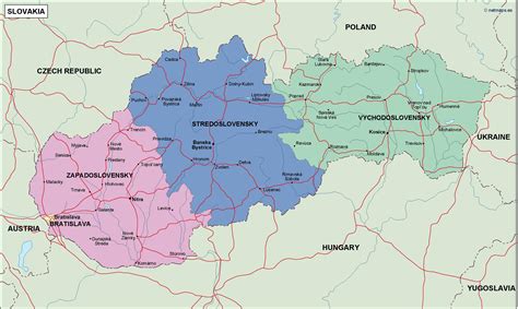
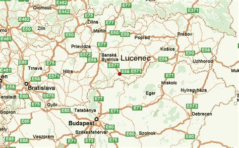
Location: Lučenec, Slovakia Administration Region: Banská Bystrica Population: 27991 ISO2 Code: Banská Bystrica ISO3 Code: SVK Location Type: Lower-level Admin Capital Latitude: 48.3286 Longitude: 19.6692
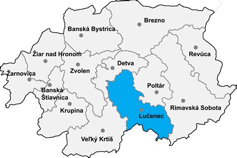
Lučenec (Slovak pronunciation: [ˈlutʂeɲets] ; German: Lizenz; Hungarian: Losonc; Yiddish: לאשאנץ; Latin: Lutetia Hungarorum) is a town in the Banská Bystrica Region of south-central Slovakia. Historically, it was part, and in the 18th century the capital, of Nógrád County of the Kingdom of Hungary. In 1920, as a result of the Treaty of Trianon, it became a part of Czechoslovakia. The town has a large synagogue, built in 1924, which served a large Jewish population before World War II. The synagogue underwent renovations in 2016. Lučenec is the economic centre of the whole Novohrad region, which includes districts Poltár and Veľký Krtíš.

Top Lučenec HD Maps, Free Download 🗺️
Map
Maps
United States
United States
World Map
China
China