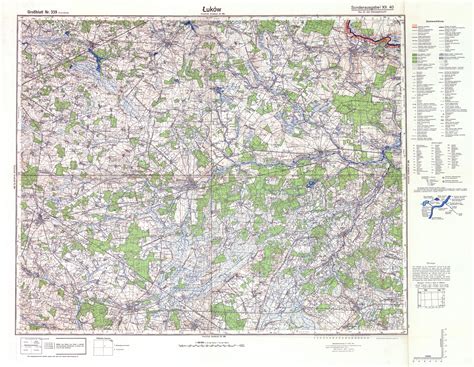
Location: Łuków 🌎
Location: Łuków, Poland
Administration Region: Lubelskie
Population: 30381
ISO2 Code: Lubelskie
ISO3 Code: POL
Location Type: Lower-level Admin Capital
Latitude: 51.9272
Longitude: 22.3833
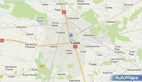
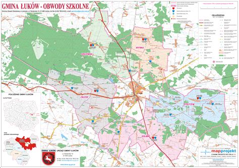
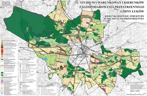
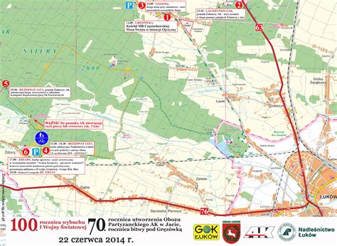
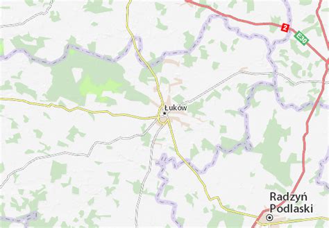
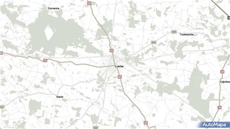
Łuków [ˈwukuf] is a city in eastern Poland with 30,727 inhabitants (as of January 1, 2005). Since 1999, it has been situated in the Lublin Voivodeship, previously it had belonged to the Siedlce Voivodeship (between 1975–1998). It is the capital of Łuków County.
The town has an area of 35.75 km2, of which forests make up 13%. Łuków is located on the Southern Krzna river, at approximately 160 meters above sea level. For 500 years Łuków, together with neighboring towns Siedlce and Radzyń Podlaski, was part of Lesser Poland, and was located in the extreme northeastern corner of the province. Some time in the 19th century, it became associated with another historical region of Poland, Podlasie.

Top Łuków HD Maps, Free Download 🗺️
Map
Maps
United States
United States
World Map
China
China

