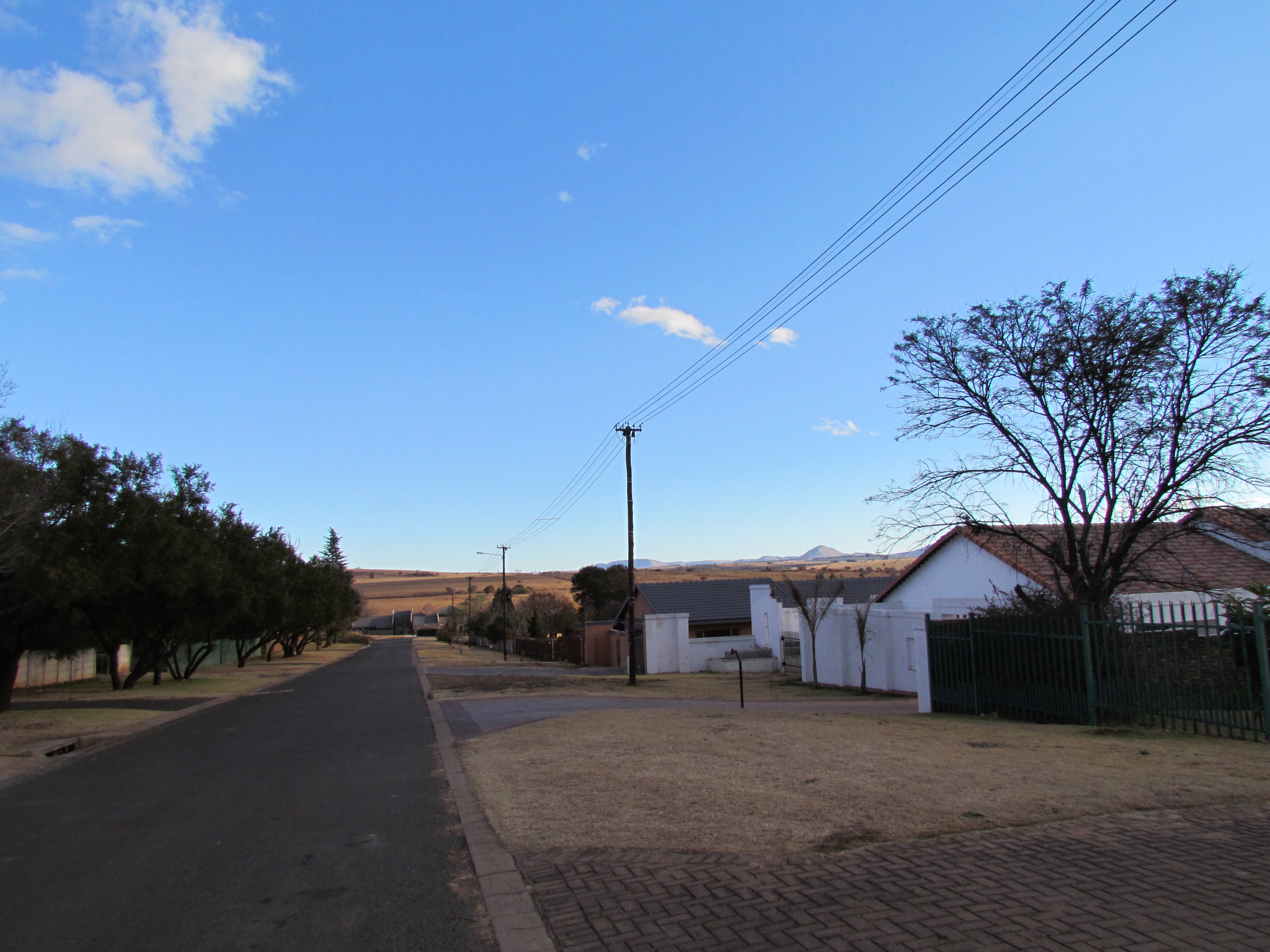
Lydenburg, officially known as Mashishing, is a town in Thaba Chweu Local Municipality, on the Mpumalanga highveld, South Africa. It is situated on the Sterkspruit/Dorps River tributary of the Lepelle River at the summit of the Long Tom Pass. It has a long, rich history, ranging from AD 500 to the present. The name is derived from the Dutch Lijdenburg, or “Town of Suffering”, and is named for the experiences of the white settlers. In Northern Sotho, Mashishing means “long green grass.” Lydenburg has become the centre of the South African fly-fishing industry and is an agricultural, tourism and mining hub.