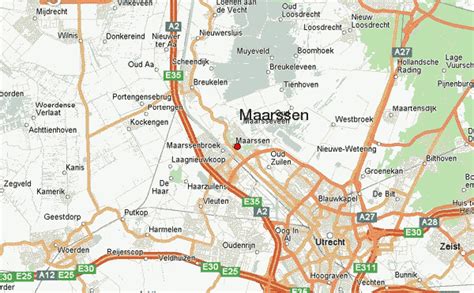
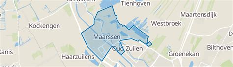
Location: Maarssen 🌎
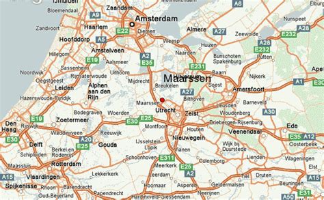
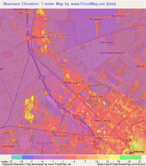
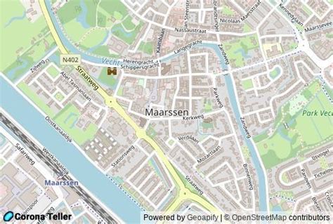
Location: Maarssen, Netherlands Administration Region: Utrecht Population: 39752 ISO2 Code: Utrecht ISO3 Code: NLD Location Type: Lower-level Admin Capital Latitude: 52.1351 Longitude: 5.0413
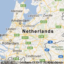
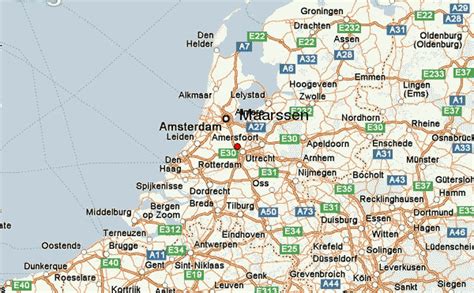
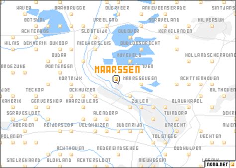
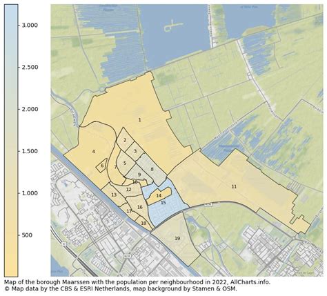
Maarssen (Dutch pronunciation: [ˈmaːrsə(n)] ) is a town in the middle of the Netherlands, in the province of Utrecht, along the river Vecht and the Amsterdam–Rhine Canal. The west of Maarssen is called Maarssen-Broek whereas the east is called Maarssen-Dorp. Both put together and joined by other small towns around provide the area of Maarssen. On 1 January 2011 Maarssen merged with the councils of Breukelen and Loenen to become Stichtse Vecht.
Top Maarssen HD Maps, Free Download 🗺️
Map
Maps
United States
United States
World Map
China
China