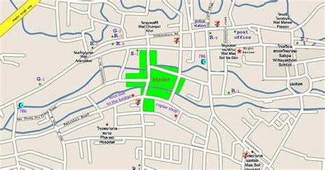
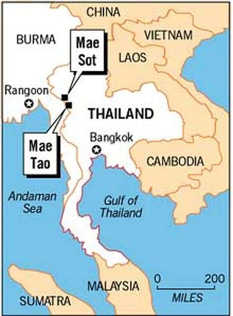
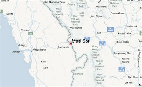
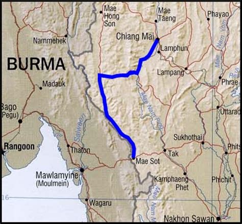
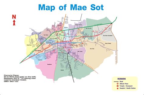
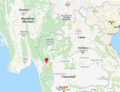
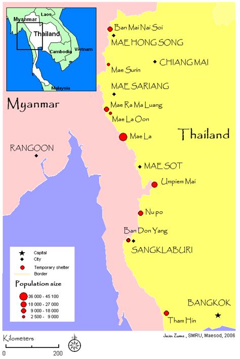
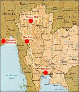
Mae Sot (Thai: แม่สอด, pronounced [mɛ̂ː sɔ̀ːt]; Burmese: မဲဆောက်, [mɛ́ sʰaʊʔ]; Shan: ႄမႈသၢႆ, [ɛ sʰaaj]; S’gaw Karen: မဲၢ်စီး) is a district in western Thailand that shares a border with Myanmar to the west. It is notable as a trade hub and for its substantial population of Burmese migrants and refugees. The town is part of Tak province and is the main gateway between Thailand and Myanmar. As a result, it has gained notoriety for its trade in gems and teak, as well as black market services such as human trafficking and drugs. Neighbouring districts are (from north clockwise): Mae Ramat, Mueang Tak, and Phop Phra. The Moei River serves as a natural border between Mae Sot and the Burmese town of Myawaddy.
Mae Sot lies 492 km north-northwest of Bangkok.