Location: Magdalena de Kino 🌎
Location: Magdalena de Kino, Mexico
Administration Region: Sonora
Population: 30429
ISO2 Code: Sonora
ISO3 Code: MEX
Location Type: Lower-level Admin Capital
Latitude: 30.6167
Longitude: -111.05
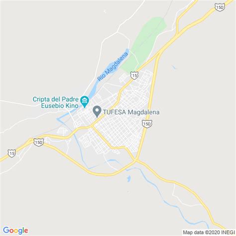
Magdalena de Kino (Spanish pronunciation: [maɣðaˈlena ðe ˈkino] ) is a city, part of the surrounding municipality of the same name, located in the Mexican state of Sonora covering approximately 560 square miles (1,460 square kilometers). According to the 2005 census, the city’s population was 23,101, and the municipality’s population was 25,500. Magdalena de Kino is in the northern section of Sonora 50 miles (80 kilometers) from the Mexico-U.S. border. To the north the municipality abuts Nogales; to the south, the municipality of Santa Ana; to the east, Ímuris and Cucurpe; and to the west, the municipalities of Tubutama and Sáric. Its main sectors include San Ignacio, San Isidro, Tacicuri, and Sásabe. The city was named after the pioneer Roman Catholic missionary and explorer, Father Eusebio Francisco Kino, who worked in the area, as well as in the present-day US state of Arizona.

Top Magdalena de Kino HD Maps, Free Download 🗺️
Map
Maps
United States
United States
World Map
China
China