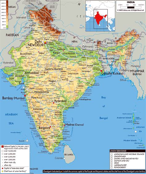
Location: Mahemdāvād 🌎
Location: Mahemdāvād, India
Administration Region: Gujarāt
Population: 30769
ISO2 Code: Gujarāt
ISO3 Code: IND
Location Type:
Latitude: 22.83
Longitude: 72.77
Mahemdavad is a town with municipality in the Kheda district in the Indian state of Gujarat. Mahemdavad is situated on the Vatrak River bank. The nearest city is Kheda. It is 30 km from largest city of Gujarat, Ahmedabad.
Nearest airport to reach here is Sardar Vallabhbhai Patel International Airport.

Top Mahemdāvād HD Maps, Free Download 🗺️
Map
Maps
United States
United States
World Map
China
China
