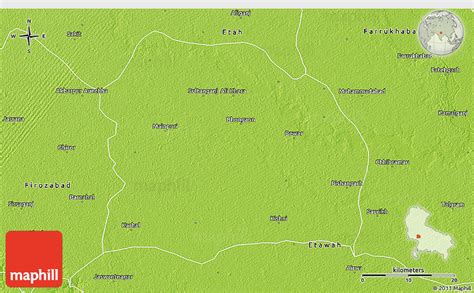
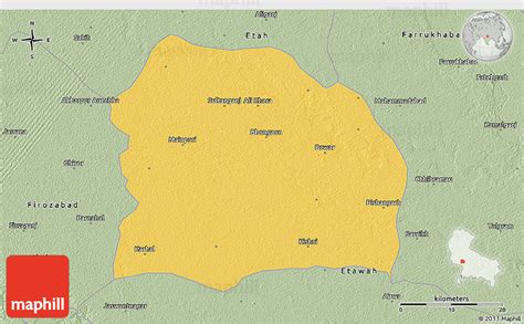
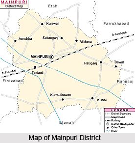
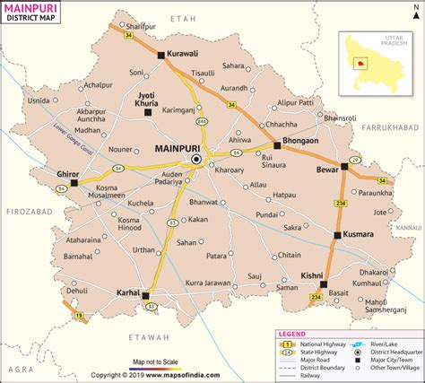
Location: Maināguri 🌎
Location: Maināguri, India
Administration Region: West Bengal
Population: 30490
ISO2 Code: West Bengal
ISO3 Code: IND
Location Type:
Latitude: 26.5658
Longitude: 88.8214
Mainaguri is a Town and a Municipality in the Jalpaiguri Sadar subdivision of the Jalpaiguri district in the state of West Bengal, India. It is known as the “Gateway of the Dooars” and is a regionally significant tourist destination for “Jalpesh Temple” of Lord Shiva and nearby Gorumara National Park.
Top Maināguri HD Maps, Free Download 🗺️
Map
Maps
United States
United States
World Map
China
China

