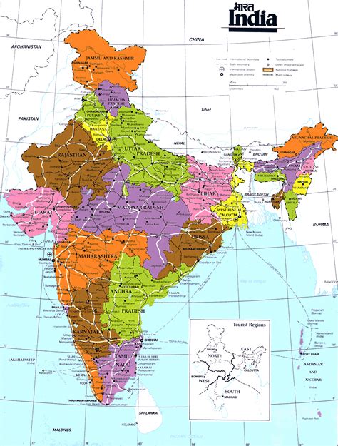
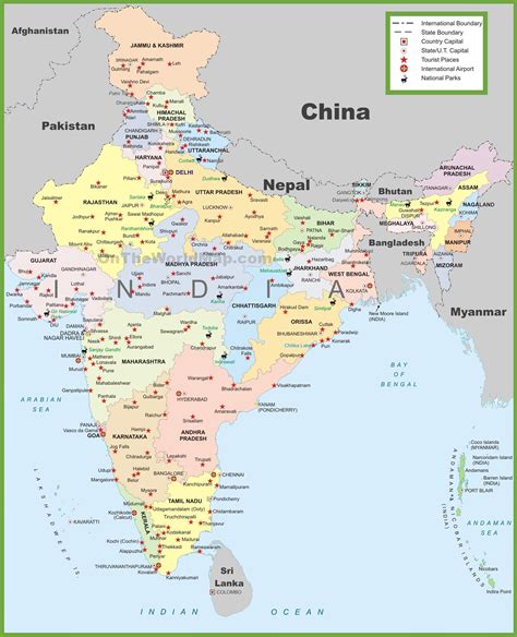
Location: Majhaul 🌎
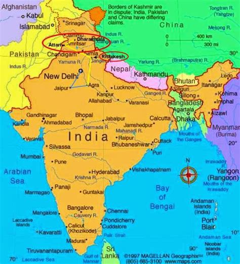
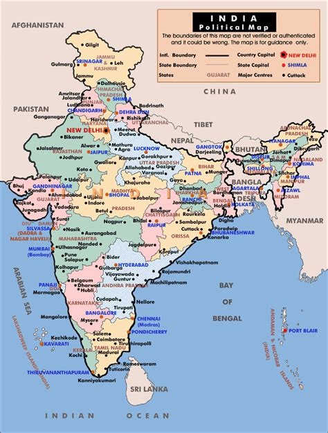
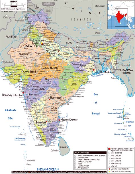
Location: Majhaul, India Administration Region: Bihār Population: 41264 ISO2 Code: Bihār ISO3 Code: IND Location Type: Latitude: 25.987 Longitude: 86.465
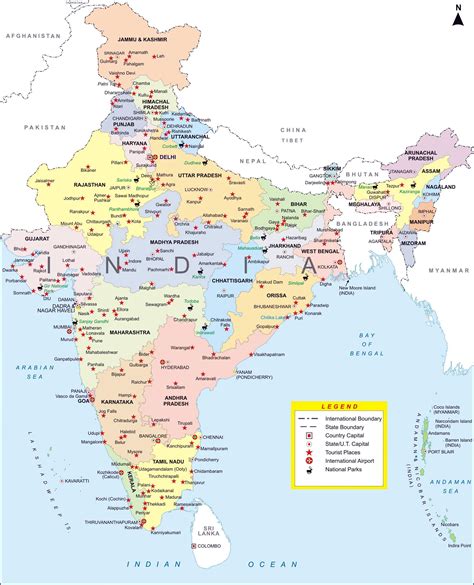
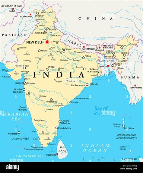
Majhaul (also known as Majhoul) is a large Village in Nauhatta Block in Saharsa District of Bihar State of India, with total 700-800 families residing. It belongs to Kosi Division. It is 167 km from State capital Patna. It is contiguous with Kumhrauli to its north, Fequrahi to the south, Telwa to the east, Kosi River to the west. It comes under Shahpur-Majhaul Panchayat and Mahisi constituency. The Majhaul village has population of 3698 of which 1919 are males while 1779 are females as per Census 2011.

Top Majhaul HD Maps, Free Download 🗺️
Map
Maps
United States
United States
World Map
China
China