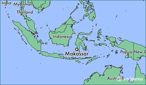
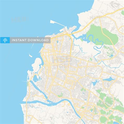
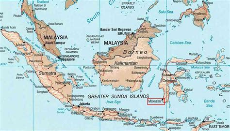
Location: Makassar 🌎
Location: Makassar, Indonesia
Administration Region: Sulawesi Selatan
Population: 1338663
ISO2 Code: Sulawesi Selatan
ISO3 Code: IDN
Location Type: First-level Admin Capital
Latitude: -5.1619
Longitude: 119.4362
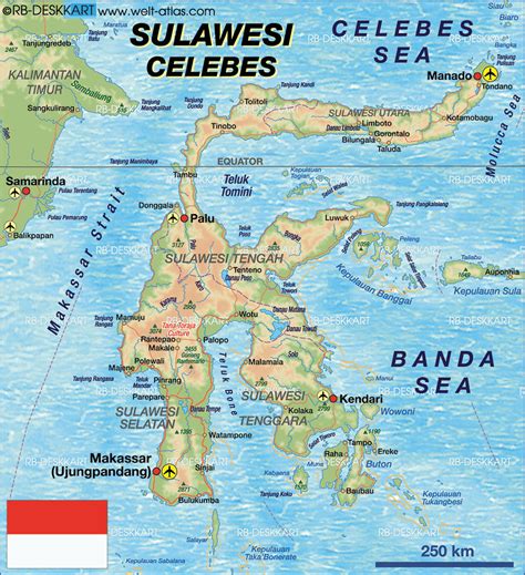
Makassar (Indonesian pronunciation: [maˈkassar] , Makasar: ᨆᨀᨔᨑ, romanized: Mangkasara’, Makasar pronunciation: [maŋˈkasaraʔ]) is the capital of the Indonesian province of South Sulawesi. It is the largest city in the region of Eastern Indonesia and the country’s fifth-largest urban center after Jakarta, Surabaya, Medan, and Bandung. The city is located on the southwest coast of the island of Sulawesi, facing the Makassar Strait.
Throughout its history, Makassar has been an important trading port, hosting the center of the Gowa Sultanate and a Portuguese naval base before its conquest by the Dutch East India Company in the 17th century. It remained an important port in the Dutch East Indies, serving Eastern Indonesian regions with Makassarese fishers going as far south as the Australian coast. For a brief period after Indonesian independence, Makassar became the capital of the State of East Indonesia, during which an uprising occurred.
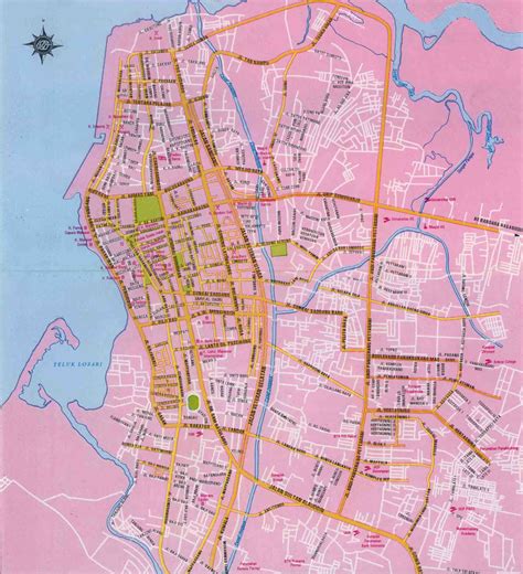
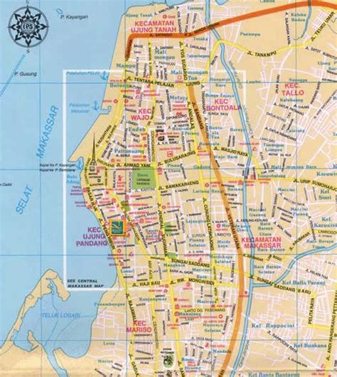
The city’s area is 175.77 square kilometres (67.87 sq mi), and it had a population of around 1.424 million in 2020 within Makassar City’s fifteen administrative districts. Its official metropolitan area, known as Mamminasata, with the addition of thirty-three further districts of neighboring regencies, covers an area of 2,666.63 square kilometres (1,029.59 sq mi) and had a population of around 2,698,915 according to the 2020 Census.According to the National Development Planning Agency, Makassar is one of the four main central cities of Indonesia, alongside Medan, Jakarta, and Surabaya.According to Bank Indonesia, Makassar has the second-highest commercial property values in Indonesia, after Greater Jakarta.
Top Makassar HD Maps, Free Download 🗺️
Map
Maps
United States
United States
World Map
China
China
