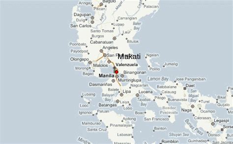
Location: Makato 🌎
Location: Makato, Philippines
Administration Region: Aklan
Population: 29717
ISO2 Code: Aklan
ISO3 Code: PHL
Location Type:
Latitude: 11.712
Longitude: 122.2922
Makato, officially the Municipality of Makato (Aklanon: Banwa it Makato; Hiligaynon: Banwa sang Makato; Tagalog: Bayan ng Makato), is a 4th class municipality in the province of Aklan, Philippines. According to the 2020 census, it has a population of 29,717 people. Established in the thirteenth century, the town’s name had been acquired by accident. Thinking that the Spaniards came to ask the route along the river, the native answered “Makato” which meant “that way”. The Spaniards recorded the name Makato on the year Eighteen Hundred (1800) thinking it was the name of the town. In 1901, the town merged with Tangalan to form the new municipality of Taft, named after the then United States President, William Howard Taft. But in 1923, Respresentative Manuel Terencio of Capiz, authored a law restoring its former name. In 1948, the arrabal of Tangalan, comprising the barrios of Tondog, Jawili, Dumatad, Afga, Baybay, Dapdap, Pudyot, Tagas, Tamalagon, Panayakan, Vivo, Lanipga, Napatag and Tamoko, was separated from Makato to form the municipality of Tangalan.

Top Makato HD Maps, Free Download 🗺️
Map
Maps
United States
United States
World Map
China
China
