Location: Malangas 🌎
Location: Malangas, Philippines
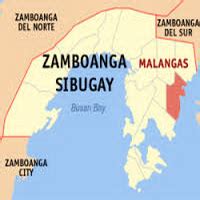
Administration Region: Zamboanga Sibugay
Population: 32022
ISO2 Code: Zamboanga Sibugay
ISO3 Code: PHL
Location Type:
Latitude: 7.6317
Longitude: 123.0322
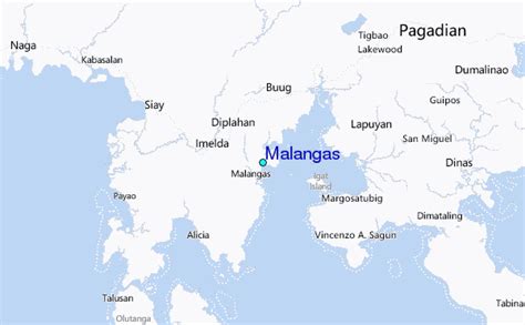
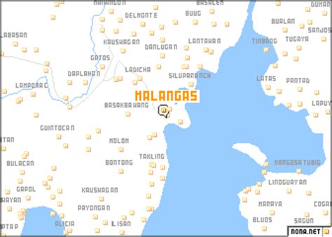
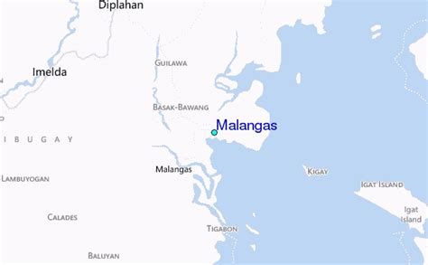
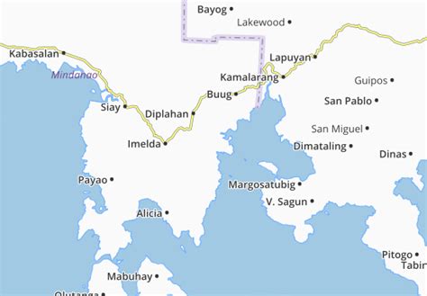
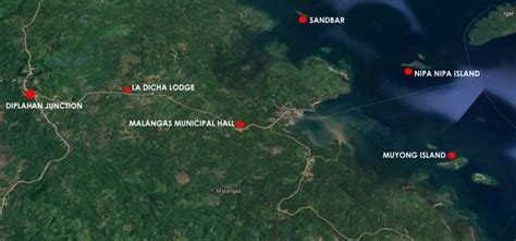
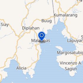
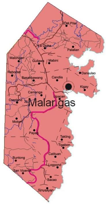
Malangas, officially the Municipality of Malangas (Cebuano: Lungsod sa Malangas; Filipino (Tagalog): Bayan ng Malangas; Zamboangueño/Chavacano: Municipio de Malangas), is a 3rd class municipality in the province of Zamboanga Sibugay, Philippines. According to the 2020 census, it has a population of 32,022 people. The municipality is generally rolling near the shorelines and mountainous in the hinterland with some patches of flat land located within the mangroves near the shorelines. It borders Buug to the north-east; Diplahan to the north-west; Imelda to the west; Margosatubig, Zamboanga del Sur, to the east; and Alicia to the south.
Malangas is the site of coal mining in Western Mindanao area, operated by the Philippine National Oil Company – Exploration Corporation. The coalmine is one of the largest in the country. Its town center nests in a harbor in Dumanquilas Bay, boasts of its twin ports, one for coal, the other for passengers.
Top Malangas HD Maps, Free Download 🗺️
Map
Maps
United States
United States
World Map
China
China
