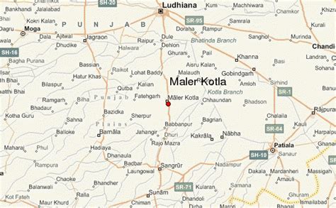
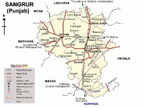
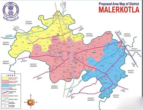
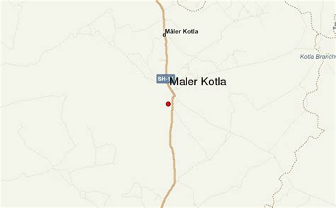
Location: Māler Kotla 🌎
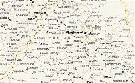
Location: Māler Kotla, India Administration Region: Punjab Population: 374000 ISO2 Code: Punjab ISO3 Code: IND Location Type: Latitude: 30.5333 Longitude: 75.9833
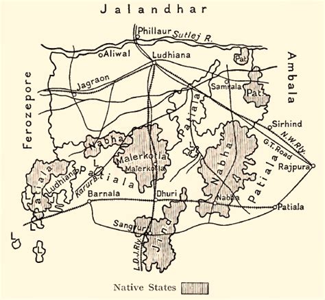
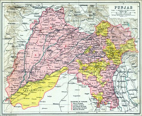
The State of Malerkotla or Maler Kotla was a princely state in the Punjab region during the era of British India. The last Nawab of Maler Kotla signed the instrument of accession to join the Dominion of India on 20 August 1948. Its rulers belonged to a Sarwani and Lodi Pashtun dynasty from Afghanistan, and its capital was in Malerkotla. The state belonged to the Punjab States Agency.

Top Māler Kotla HD Maps, Free Download 🗺️
Map
Maps
United States
United States
World Map
China
China