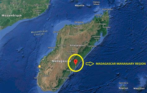
Mananjary is a city on the East coast of Madagascar with a population of 25,222 inhabitants in 2018.
It is the chief town of the Mananjary district and the Vatovavy region.
It contains a town of the same name, situated on the southern part of the east coast, where the Mananjary River flows into the Indian Ocean. There’s a small port and an airport.
Mananjary is situated at 130 km south of Nosy Varika on the RN 11 and 167 km north of Manakara by the National road 12 and National road 25.
The Canal des Pangalanes divides the town into two sections.
In 2022 Cyclone Batsirai made landfall at Mananjary, leaving the city destroyed by 90%.