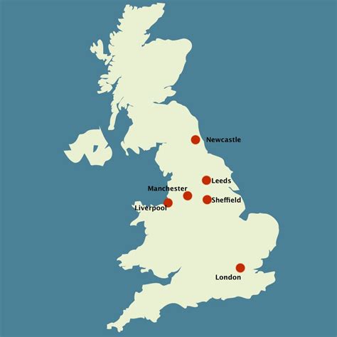
Manchester () is a city in Greater Manchester, England. It had a population of 552,000 in the 2021 United Kingdom census. It is bordered by the Cheshire Plain to the south, the Pennines to the north and east, and the neighbouring city of Salford to the west. The two cities and the surrounding towns form one of the United Kingdom’s most populous conurbations, the Greater Manchester Built-up Area, which has a population of 2.87 million. The city borders the boroughs of Trafford, Stockport, Tameside, Oldham, Rochdale, Bury, and Salford.
The history of Manchester began with the civilian settlement associated with the Roman fort (castra) of Mamucium or Mancunium, established in about AD 79 on a sandstone bluff near the confluence of the rivers Medlock and Irwell. Historically part of Lancashire, areas of Cheshire south of the River Mersey were incorporated into Manchester in the 20th century, including Wythenshawe in 1931. Throughout the Middle Ages Manchester remained a manorial township, but began to expand “at an astonishing rate” around the turn of the 19th century. Manchester’s unplanned urbanisation was brought on by a boom in textile manufacture during the Industrial Revolution, and resulted in it becoming the world’s first industrialised city. Manchester achieved city status in 1853. The Manchester Ship Canal opened in 1894, creating the Port of Manchester and linking the city to the Irish Sea, 36 miles (58 km) to the west. Its fortune declined after the Second World War, owing to deindustrialisation, and the IRA bombing in 1996 led to extensive investment and regeneration. Following considerable redevelopment, Manchester was the host city for the 2002 Commonwealth Games.
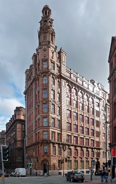
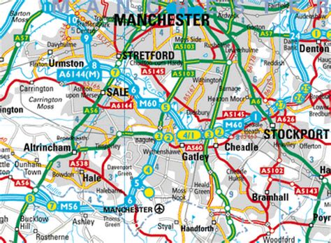
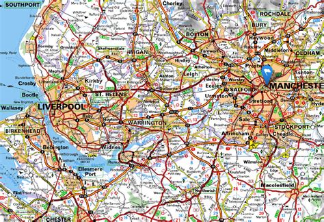
The city is notable for its architecture, culture, musical exports, media links, scientific and engineering output, social impact, sports clubs, and transport connections. Manchester Liverpool Road railway station was the world’s first inter-city passenger railway station. At the University of Manchester, Ernest Rutherford first split the atom in 1917, Frederic C. Williams, Tom Kilburn and Geoff Tootill developed the world’s first stored-program computer in 1948, and Andre Geim and Konstantin Novoselov isolated the first graphene in 2004. The city has a large urban sprawl which forms from the city centre into the other neighboring authorities which include The Four Heatons, Failsworth, Prestwich, Stretford, Sale, Droylsden, Old Trafford and Reddish. The city is also contigious with Salford and its borough but is separated from it by the River Irwell. This urban area is cutoff by the M60 aka the Manchester Outer Ring Road which runs in a circular around the city and these areas. It joins the M62 to the northeast and the M602 to the west as well as the East Lancashire Road and A6 among other A-roads.