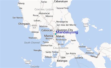
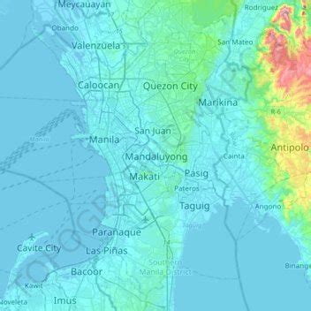
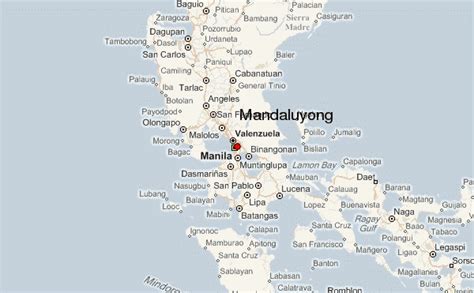
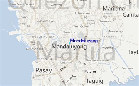
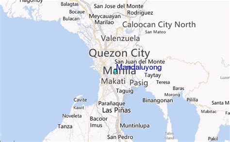
Location: Mandaluyong City 🌎
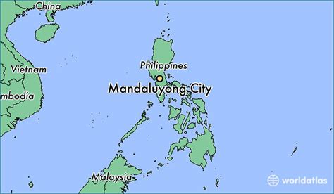
Location: Mandaluyong City, Philippines
Administration Region: Mandaluyong
Population: 425758
ISO2 Code: Mandaluyong
ISO3 Code: PHL
Location Type: First-level Admin Capital
Latitude: 14.58
Longitude: 121.03
Mandaluyong, officially the City of Mandaluyong (Filipino: Lungsod ng Mandaluyong), is a first class highly urbanized city in the National Capital Region of the Philippines. According to the 2020 census, it has a population of 425,758 people. Located directly east of Manila, Mandaluyong was originally a barrio of Santa Ana de Sapa (now a district of Manila) called San Felipe Neri. It separated and became its own town in 1841, and later acquired the name Mandaluyong in 1931 during the American occupation. In 1994, it became the first municipality of Metro Manila to become a city since the metropolis’ establishment in 1975.
At present, it is known for the Ortigas Center, a commercial and business center that it also shares with the city of Pasig. Notable institutions and establishments in the city include the Asian Development Bank, the headquarters of Banco de Oro and San Miguel Corporation and shopping malls like Shangri-La Plaza and SM Megamall.
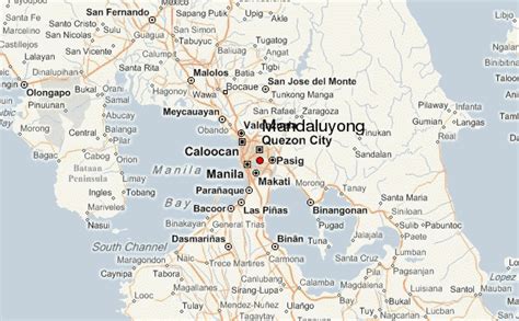
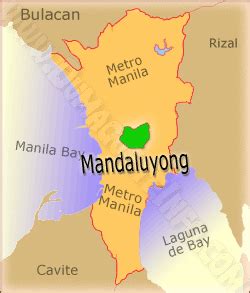
The city is bordered by Manila to the west, San Juan to the north, Quezon City to the northeast, Pasig to the east, and Makati to the south. It is also the 6th-smallest city in the Philippines with a land area of 21.26 km2 (8.21 sq mi), similar to Makati and Marikina.

Top Mandaluyong City HD Maps, Free Download 🗺️
Map
Maps
United States
United States
World Map
China
China
