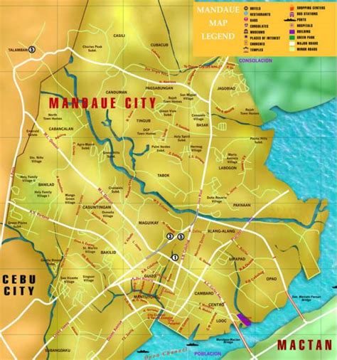
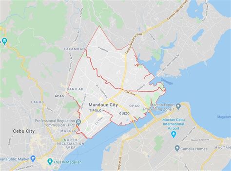
Location: Mandaue City 🌎
Location: Mandaue City, Philippines
Administration Region: Mandaue
Population: 364116
ISO2 Code: Mandaue
ISO3 Code: PHL
Location Type: First-level Admin Capital
Latitude: 10.33
Longitude: 123.93
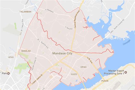
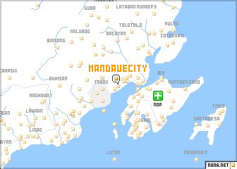
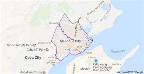
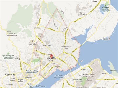
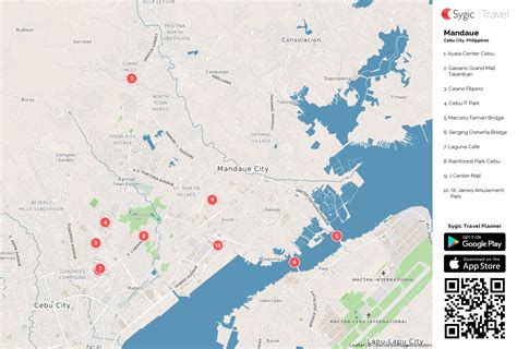
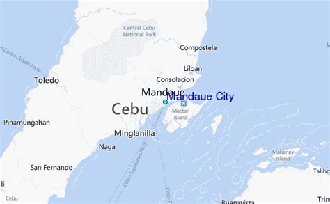
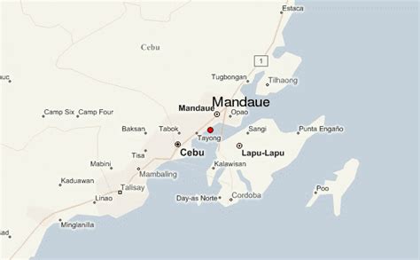
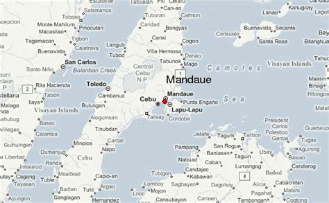
Mandaue (Tagalog pronunciation: [mɐnˈdaʊ.ɛ]), officially the City of Mandaue (Cebuano: Dakbayan sa Mandaue; Filipino: Lungsod ng Mandaue), is a 1st class highly urbanized city in the Central Visayas region of the Philippines. According to the 2020 census, it has a population of 364,116 people. Mandaue City is located on the central-eastern coastal region of Cebu. Its southeast coast borders Mactan Island where Lapu-Lapu City is located and is connected to the island via two bridges: the Mactan-Mandaue Bridge and Marcelo Fernan Bridge. Mandaue City is bounded on the north by the town of Consolacion, to the east by the Camotes Sea, and to the west and south by Cebu City.
It is one of three highly urbanized cities on Cebu island and forms a part of the Cebu Metropolitan area and was part of the sixth district of Cebu joined with the municipalities of Consolacion and Cordova – it was qualified for a lone district since 1991. In April 5, 2019, President Rodrigo Duterte signed a law declaring this city as a lone legislative district. As of June 30, 2022, Mandaue City had its first representation in the 19th Congress of the Philippines.
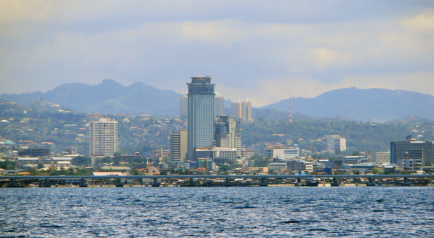
Top Mandaue City HD Maps, Free Download 🗺️
Map
Maps
United States
United States
World Map
China
China
