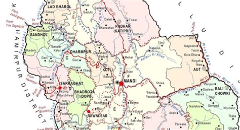
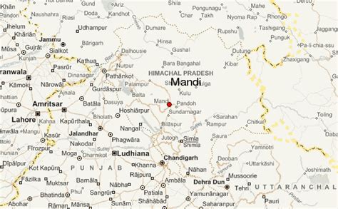
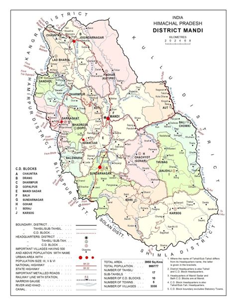
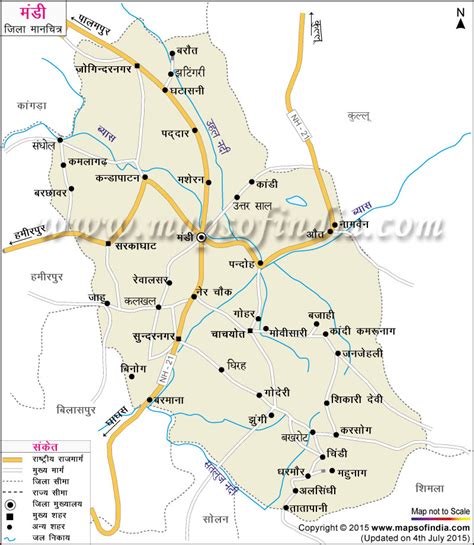
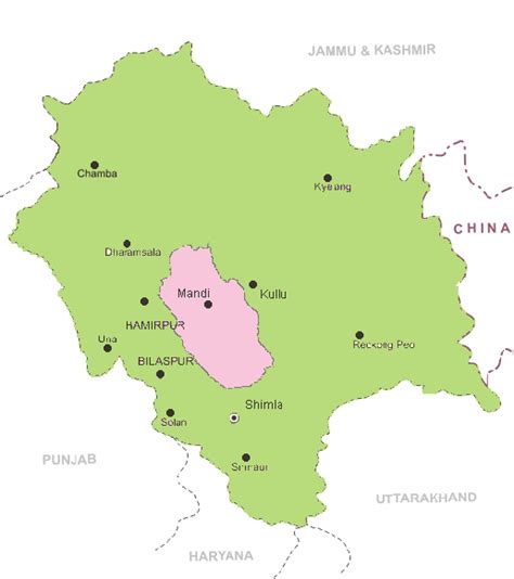
Mandi (formerly known as Mandav Nagar) is a major city and a municipal corporation in Mandi District in the Indian state of Himachal Pradesh. It is situated 145 kilometres (90 mi) north of state capital, Shimla in the north-west Himalayas at an average altitude of 880 m (2,890 ft) Mandi is connected to the Pathankot through National Highway 20 and to Manali and Chandigarh through National Highway 21. Mandi is approximately 184.6 km (114.7 mi) from Chandigarh, the nearest major city, and 440.9 km (274.0 mi) from New Delhi, the national capital. In the 2011 Indian census, Mandi city had a population of 26,422. Mandi district is currently the 2nd largest economy in the state next to Kangra. Mandi, in the state is having second highest sex ratio of 1013 females per thousand males.
It serves as the headquarters of Mandi District and Zonal Headquarters of central zone including Districts namely Kullu, Bilaspur, and Hamirpur. As a tourist place, Mandi is often referred to as “Varanasi of Hills” or “Choti Kashi” or “Kashi of Himachal”. Also, Mandi is the starting point for a trek of the region, Prashar lake trek. From Mandi, trekkers go to Bagi village, which serves as the base village for Prashar lake.
Indian Institute of Technology (IIT) Mandi is a premier institute located 15 kilometres (9.3 mi) from Mandi town.This one-time capital of the princely state of Mandi is a fast-developing city that still retains much of its original charm and character. The city was established in 1527 by Ajbar Sen, as the seat of the Mandi State, a princely state till 1948. Foundation of the city was laid on the establishment of Himachal Pradesh in early 1948. Today, it is widely known for the International Mandi Shivaratri Fair. First heritage city of Himachal Pradesh. The city also has the remains of old palaces and notable examples of ‘colonial’ architecture. The city had one of the oldest buildings of Himachal Pradesh.