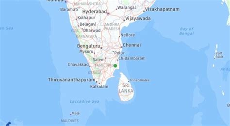
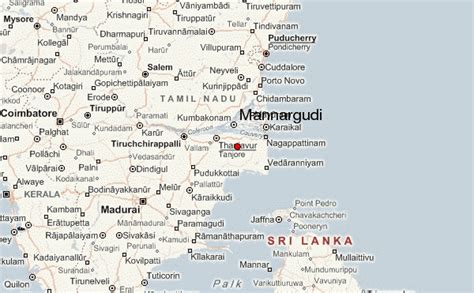
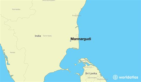
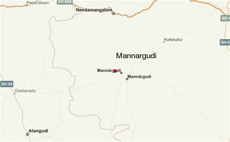
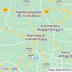
Mannargudi (Tamil pronunciation: [mannaːrgɯɖi]) is a town in Thiruvarur district in the Indian state of Tamil Nadu. It is the headquarters of the Mannargudi taluk. The town is located at a distance of 28 km (17 mi) from the district headquarters Thiruvarur, 36 km from Kumbakonam, 40 km from Thanjavur and 310 km (190 mi) from the state capital Chennai. Mannargudi is known for the Rajagopalaswamy temple, a prominent Vaishnavite shrine.
Mannargudi was founded as an agraharam village by the Medieval Cholas during the 7th century A.D. The town was subsequently ruled by various dynasties including the Chola king Rajadhiraja Chola (1018–1054 CE), Vijayanagar Empire, Delhi Sultanate, Thanjavur Nayaks, Thanjavur Marathas and the British Empire. Mannargudi was a part of the erstwhile Tanjore district until India’s independence in 1947 and Thanjavur district until 1991. It subsequently became a part of the newly formed Tiruvarur district. The town is known for agriculture, metal working and weaving. The region around Mannargudi has considerable mineral deposits.
Majority of the people living in Mannargudi and its surrounding villages belong to the Raja Kallar caste (Mukkuthalor); the King for Raja, thieves for Kallar community, King in otherwords “Mannars”, which is why the name came as Mannar – King; Living – Kudi. Prominent people like Gopalaswamy Thenkondar Ex.M.P (Congress), Mannai Narayanaswamy Ondhriyar Ex.MLC Ex. Minister for Food and Co-operation(DMK), V.K. Sasikala Koorsar (ADMK), Manorama Kilakudaiyar (Veteran Tamil Actress). This town is one of the VIP towns in Tamilnadu Politics.
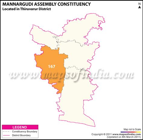
Mannargudi is administered by a municipality established in 1866. As of 2011, the municipality covered an area of 11.55 km2 (4.46 sq mi) and has a population of 67,999. Mannargudi comes under the Mannargudi assembly constituency which elects a member to the Tamil Nadu Legislative Assembly once every five years and it is a part of the Thanjavur constituency which elects its Member of Parliament (MP) once in five years. Roadways are the major mode of transportation to the town and it also has rail connectivity. The nearest seaport, Nagapattinam Port, is located 52 km (32 mi) from Mannargudi, while the nearest airport, Tiruchirappalli International Airport, is located 97 km (60 mi) from the town. Mannargudi is a fourth largest town in delta region after Thanjavur, Kumbakonam and Nagapattinam.