Location: Margherita 🌎
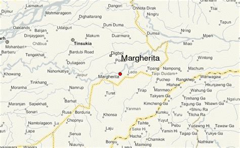
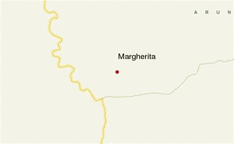
Location: Margherita, India
Administration Region: Arunāchal Pradesh
Population: 26914
ISO2 Code: Arunāchal Pradesh
ISO3 Code: IND
Location Type:
Latitude: 27.28
Longitude: 95.68
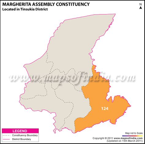
Margherita (IPA: ˌmɑːgəˈrɪtə) is a census town in Tinsukia district in the Indian state of Assam. The small sub-divisional town has scenic beauty and is surrounded by hills, tea gardens, forests and the Dihing River. It has a beautiful golf course at the foot of the hills and a small stream running through. Although considered to be a small town, Margherita boasts of many hospitals and educational institutions and is regularly frequented by visitors on account of it being the last proper town of Upper Assam. The name Margherita actually derives from the Italian queen and dates back to the late 19th century as a token appreciation for the Italian Chief Engineer of a rail section Chevalier R Paginini who supervised the construction. Margherita was famous for its collieries much developed by the British. Coal India Ltd has the biggest industrial plant here. The town is also known as Coal Queen as it is famous for coal business. Apart from this there are other industrial plants like Kitply and Tata Tea (amalgamated plantations), along with minor plywood industries and tea gardens. Margherita has Tea Estates of the famous Williamson Magor Group (McLeod Russel India Limited). Namdang Tea Estate, Dirok Tea Estate, Dehing Tea Estate, Bogapani Tea Estate and Margherita Tea Estate are the 5 famous estates of the McLeod Russel India Limited Group situated at the sub division Margherita. McLeod Russel India Limited is one of the largest tea producers in Asia.
Top Margherita HD Maps, Free Download 🗺️
Map
Maps
United States
United States
World Map
China
China
