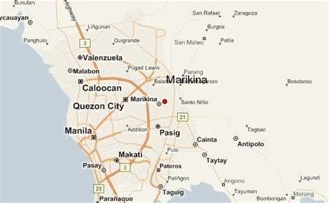
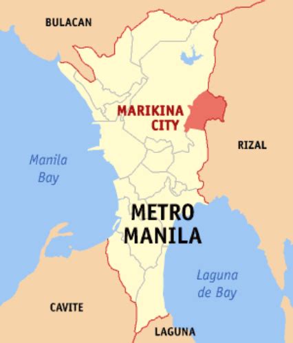
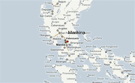
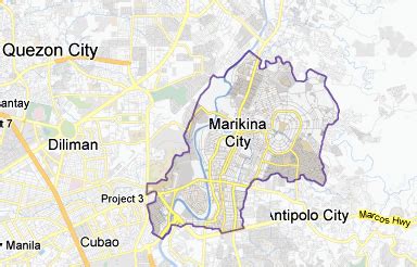
Marikina (), officially the City of Marikina (Filipino: Lungsod ng Marikina), is a 1st class highly urbanized city in the National Capital Region of the Philippines. According to the 2020 census, it has a population of 456,159 people. It is located along the eastern border of Metro Manila, Marikina is the main gateway of Metro Manila to Rizal and Quezon provinces through Marikina–Infanta Highway. It is bordered on the west by Quezon City, to the south by Pasig and Cainta, to the north by San Mateo, and to the east by Antipolo, the capital of Rizal province.
It was founded by the Jesuits on the fertile Marikina Valley in 1630. Marikina was the provincial capital of the Province of Manila under the First Philippine Republic from 1898 to 1899 during the Philippine Revolution. Following the onset of American occupation it was then organized as a municipality of Rizal Province, prior to the formation of Metro Manila in 1975. Formerly a rural settlement, Marikina is now primarily residential and industrial and has become increasingly commercial in recent years. The City of Marikina is considered one of the wealthiest local government units in the Philippines.Marikina is known as the “Shoe Capital of the Philippines” owing to its famous shoe industry. It is the biggest manufacturer of shoes in the Philippines, producing almost 70% of shoes made in the country. Located in the city are the Philippine International Footwear Center and the Shoe Museum, housing the infamous shoe collection of former First Lady Imelda Marcos, wife of the late Filipino president, dictator, and kleptocrat Ferdinand Marcos.The city is under the jurisdiction of the Roman Catholic Diocese of Antipolo. It contains the Our Lady of the Abandoned Church, the oldest in the Marikina Valley, built in 1572.