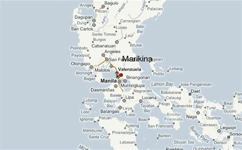
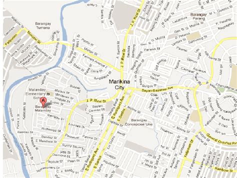
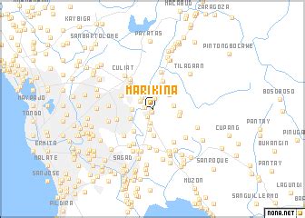
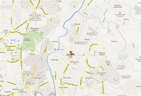
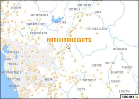
Location: Marikina Heights 🌎
Location: Marikina Heights, Philippines
Administration Region: Marikina
Population: 40967
ISO2 Code: Marikina
ISO3 Code: PHL
Location Type:
Latitude: 14.6534
Longitude: 121.1187
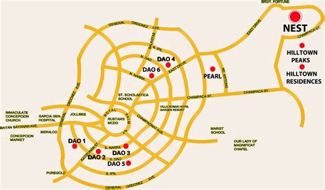
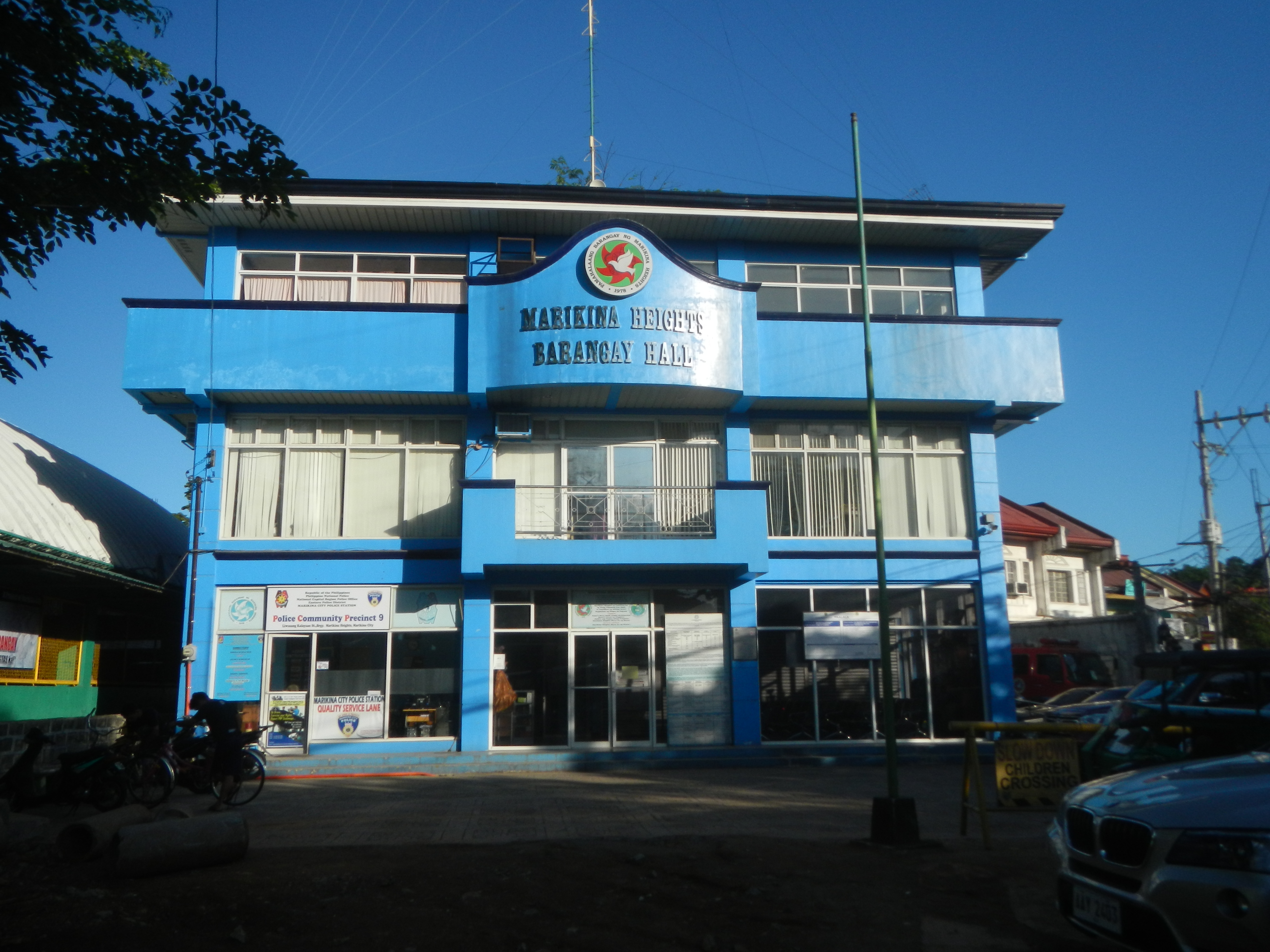
Marikina Heights is one of the largest barangays of Marikina measuring some 206 hectares (510 acres). Once a privately owned hacienda, it is now populated by 35,416 people according to the 2010 National Census.
Top Marikina Heights HD Maps, Free Download 🗺️
Map
Maps
United States
United States
World Map
China
China
