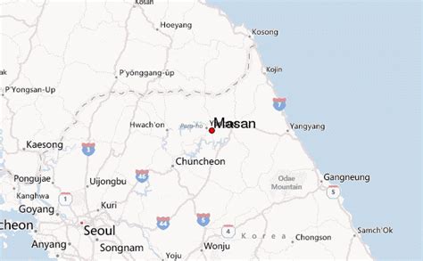
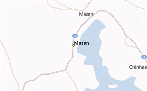
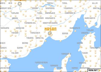
Location: Masan 🌎
Location: Masan, South Korea
Administration Region: Gyeongnam
Population: 429612
ISO2 Code: Gyeongnam
ISO3 Code: KOR
Location Type:
Latitude: 35.1833
Longitude: 128.55
Masan is an administrative region of Changwon, a city in the South Gyeongsang Province. It was formerly an independent city from 1949 until 30 June 2010, when it was absorbed to Changwon along with Jinhae. Masan was redistricted as two districts within Changwon, Masanhappo-gu and Masanhoewon-gu. On 31 December 2012, the population of the districts combined was 406,893.
Throughout Korean history, Masan served as a significant port city of Happo, which went through rapid modernization in the 19th century. It was also a stage for significant democratization movements in the 1960s and 1970s, most notable event being the Bu-Ma Democratic Protests in 1979. Due to its status as a free trade port, Masan has experienced consistent growth until the early 1990s when the construction of Changwon went underway and began to attract citizens around the region.

Top Masan HD Maps, Free Download 🗺️
Map
Maps
United States
United States
World Map
China
China


