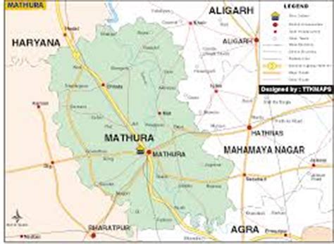
Location: Mathura 🌎
Location: Mathura, India
Administration Region: Uttar Pradesh
Population: 441894
ISO2 Code: Uttar Pradesh
ISO3 Code: IND
Location Type:
Latitude: 27.4925
Longitude: 77.6736
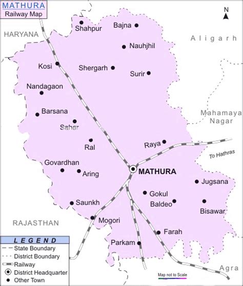
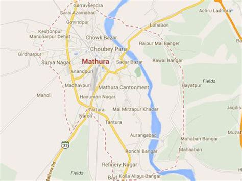
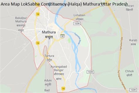
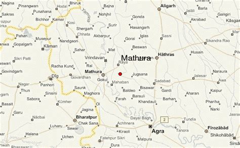
Mathura (pronunciation ) is a city and the administrative headquarters of Mathura district in the Indian state of Uttar Pradesh. It is located approximately 57.6 kilometres (35.8 mi) north of Agra, and 146 kilometres (91 mi) south-east of Delhi; about 14.5 kilometres (9.0 mi) from the town of Vrindavan, and 22 kilometres (14 mi) from Govardhan. In ancient times, Mathura was an economic hub, located at the junction of important caravan routes. The 2011 Census of India estimated the population of Mathura at 441,894.
In Hinduism, Mathura is the birthplace of Krishna, which is located at the Krishna Janmasthan Temple Complex. It is one of the Sapta Puri, the seven cities considered holy by Hindus, also is called Mokshyadayni Tirth. The Kesava Deo Temple was built in ancient times on the site of Krishna’s birthplace (an underground prison). Mathura was the capital of the kingdom of Surasena, ruled by Kamsa, the maternal uncle of Krishna. Mathura is part of the Krishna circuit (Mathura, Vrindavan, Barsana, Govardhan, Kurukshetra, Dwarka and Bhalka). Janmashtami is grandly celebrated in Mathura every year.
Mathura has been chosen as one of the heritage cities for the Heritage City Development and Augmentation Yojana scheme of Government of India.

Top Mathura HD Maps, Free Download 🗺️
Map
Maps
United States
United States
World Map
China
China
