Location: Mauá 🌎
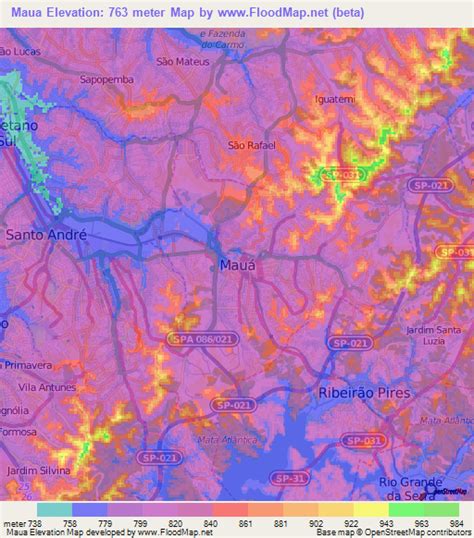
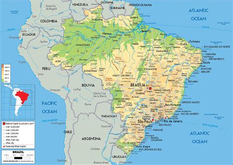
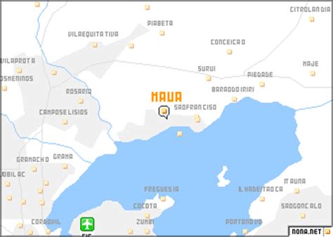
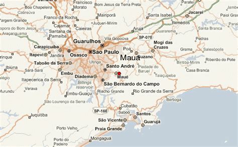
Location: Mauá, Brazil
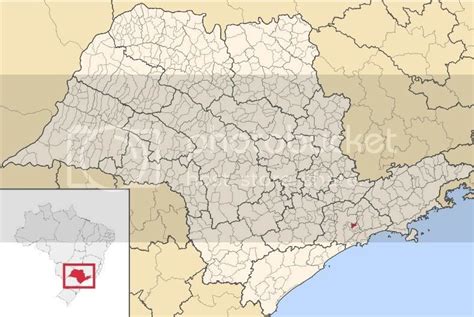
Administration Region: São Paulo
Population: 453286
ISO2 Code: São Paulo
ISO3 Code: BRA
Location Type:
Latitude: -23.6678
Longitude: -46.4608
Mauá (Portuguese pronunciation: [mawˈa]) is a municipality in the state of São Paulo, in Brazil. Is part of the metropolitan region of São Paulo. The population as of 2020 is 477,552 inhabitants (11th largest city in population number of the state), the density is 7,500 per square kilometre (19,000/sq mi) and the area is 62.6 square kilometres (24.2 sq mi). The density is in fact bigger, since one third of the city is occupied by industries and 10% is countryside or forest. Its name comes from the Tupi language and means the one that is high. As it’s a municipality, it can also be translated as high city. However, back when the city was a small village, its name was Pilar, then the name was changed in 1934 into Mauá as a homage to Visconde de Mauá, entrepreneur which built the Santos–Jundiaí railway that passes through the city.
Mauá has the 23rd largest GDP of São Paulo state.
Is the birthplace of Brazilian tableware industry.
Top Mauá HD Maps, Free Download 🗺️
Map
Maps
United States
United States
World Map
China
China

