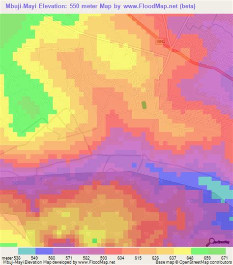
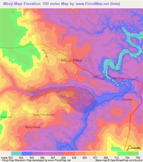
Mbuji-Mayi or Mbujimayi (formerly Bakwanga) is a city and the capital of Kasai-Oriental Province in the south-central Democratic Republic of Congo. It is the second largest city in the country, following the capital Kinshasa but ahead of Lubumbashi, Kisangani and Kananga, though the exact population is not known. Estimates ranged from a 2010 CIA World Factbook estimated population of 1,480,000 to as many as 3,500,000 estimated by the United Nations in 2008.Mbuji-Mayi lies in Luba country on the Mbuji-Mayi River. The name Mbuji-Mayi comes from the local language, Tshiluba, and translates as “Goat-Water,” a name deriving from the great number of goats in the region. Despite its large population, the city remains remote, having little connection to surrounding provinces or to Kinshasa and Lubumbashi. However, Mbuji-Mayi is the traditional centre of industrial diamond mining in Congo, with it being located on top of one of the largest known deposits in the world. Air travel is provided through the Mbuji Mayi Airport.