Location: McAllen 🌎
Location: McAllen, United States
Administration Region: Texas
Population: 809002
ISO2 Code: Texas
ISO3 Code: USA
Location Type:
Latitude: 26.2164
Longitude: -98.2364
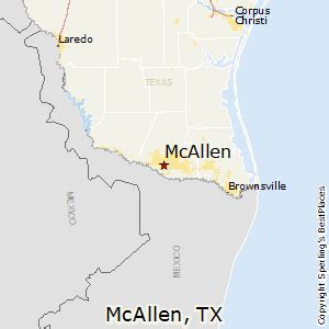
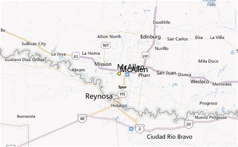
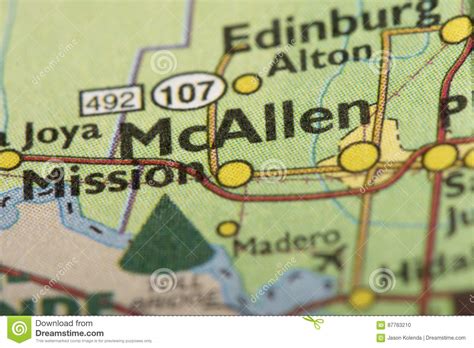
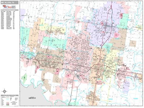
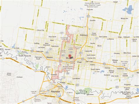
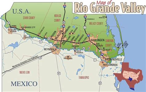
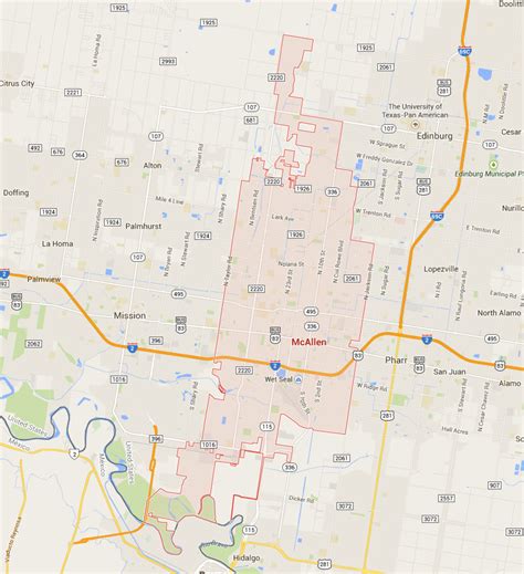
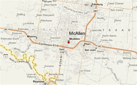
McAllen is the largest city in Hidalgo County, Texas, United States, and the 22nd-most populous city in Texas. It is located at the southern tip of the state in the Rio Grande Valley, on the Mexico–United States border. The city limits extend south to the Rio Grande, across from the Mexican city of Reynosa. McAllen is about 70 mi (110 km) west of the Gulf of Mexico. As of the 2020 census, McAllen’s population was 142,210. It is the fifth-most populous metropolitan area (McAllen–Edinburg–Mission) in the state of Texas, and the binational Reynosa–McAllen metropolitan area counts a population of more than 1.5 million.From its settlement in 1904, the area around McAllen was largely rural and agricultural in character, but the latter half of the 20th century had steady growth, which has continued in the 21st century in the metropolitan area. The introduction of the maquiladora economy and the North American Free Trade Association led to an increase in cross-border trading with Mexico.
Top McAllen HD Maps, Free Download 🗺️
Map
Maps
United States
United States
World Map
China
China
