Location: Menomonee Falls π
Location: Menomonee Falls, United States
Administration Region: Wisconsin
Population: 38219
ISO2 Code: Wisconsin
ISO3 Code: USA
Location Type:
Latitude: 43.1789
Longitude: -88.1172
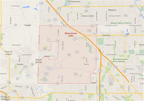
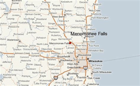
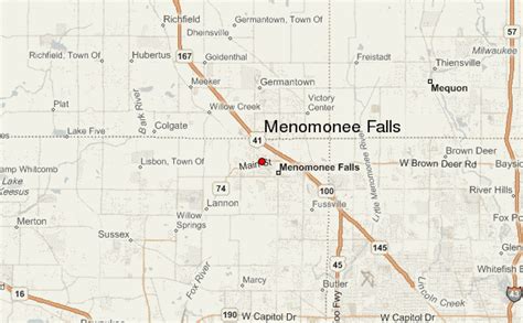
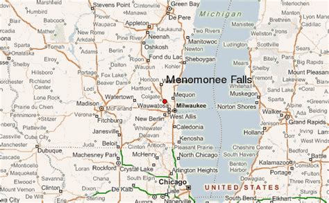
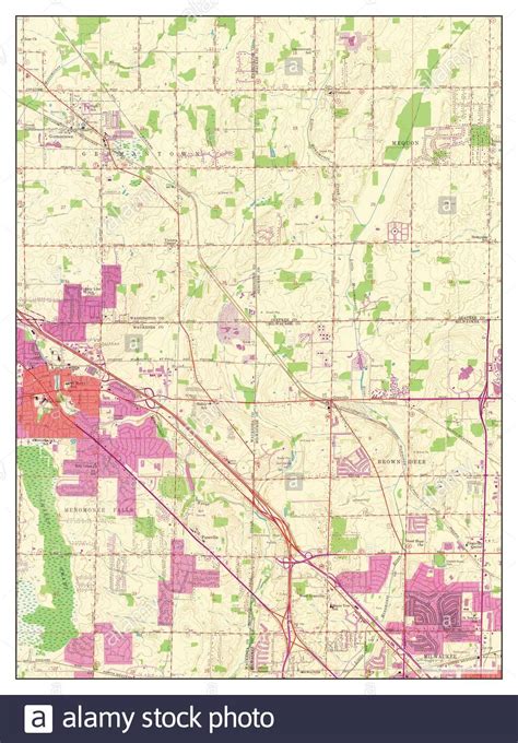
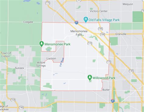
Menomonee Falls is a village in Waukesha County, Wisconsin, United States, and is part of the Greater Milwaukee area. The population was 38,527 at the 2020 census, making it the most populous village in Wisconsin. It is the fourth largest community in Waukesha County.
Top Menomonee Falls HD Maps, Free Download πΊοΈ
Map
Maps
United States
United States
World Map
China
China