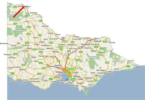
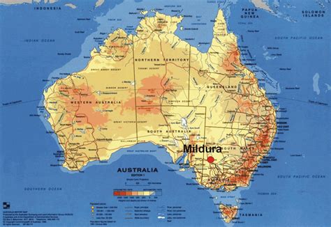
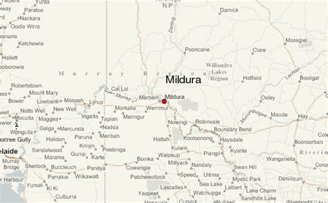
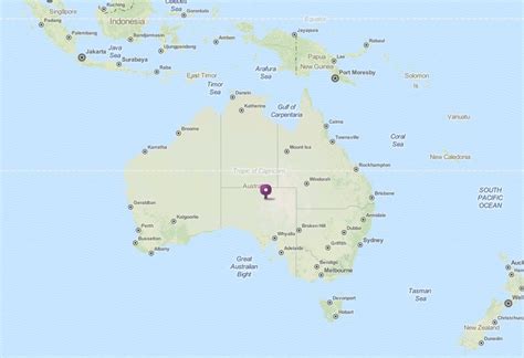
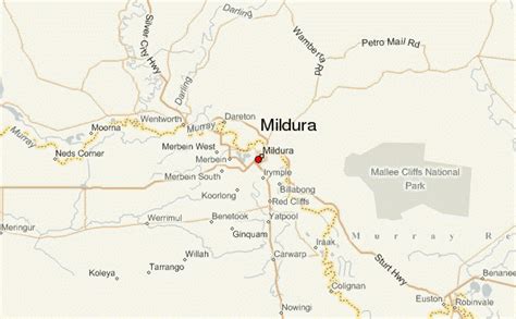
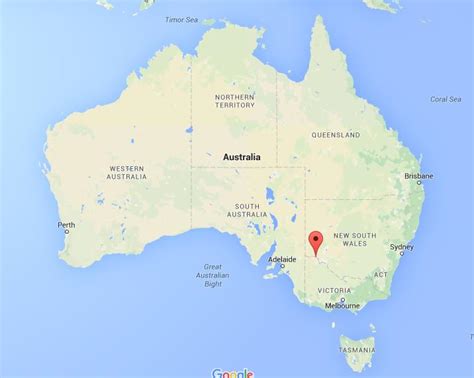
Mildura is a regional city in north-west Victoria, Australia. Located on the Victorian side of the Murray River, Mildura had a population of 34,565 in 2021. When nearby Wentworth, Irymple, Nichols Point and Merbein are included, the area had an estimated urban population of 51,903 at June 2018, having grown marginally at an average annual rate of 0.88% year-on-year over the preceding five years. It is the largest settlement in the Sunraysia region. Mildura is a major horticultural centre notable for its grape production, supplying 80% of Victoria’s grapes. Many wineries also source grapes from Mildura. It is very close to the New South Wales border.
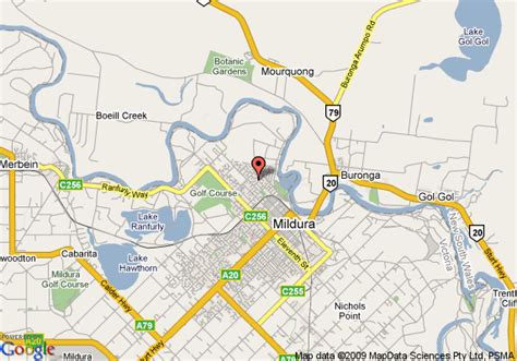
The city’s central business district is located just a short distance from the banks of the Murray. Langtree Avenue is the main shopping and dining precinct in Mildura, with the middle section of the street a pedestrian mall. The other major retail precinct is along Fifteenth Street in the Mildura South area, where a mid-sized undercover shopping mall and several big box stores are located. The city’s name was taken from the Mildura homestead, an early sheep station which covered most of the area. The urban area of Mildura is surrounded by irrigated horticulture, where the original grape and citrus blocks were located with water irrigated from the Murray River.